• For 2024 Pilgrims: €50,- donation = 1 year with no ads on the forum + 90% off any 2024 Guide. More here.
    (Discount code sent to you by Private Message after your donation)
  • ⚠️ Emergency contact in Spain - Dial 112 and AlertCops app. More on this here.

Search 69,459 Camino Questions

Galicia's Highest Swing?

Elle Bieling

Elle Bieling, PilgrimageTraveler
Time of past OR future Camino
Too many to count!
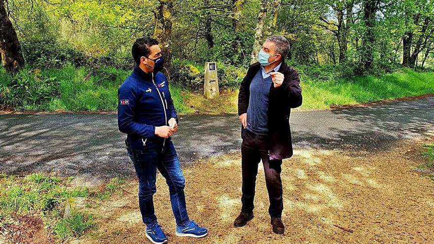
Just prior to the pandemic, I walked the Camino Sanabrés, as an extension of the "Camino Fonseca," starting in Salamanca. Apparently, according to my helpful friend, @Betterisgood, who lives in A Coruña and was able to walk a few stages this year, there has been considerable work done on the section from A Gudiña to Campobecerros. In the past, shortly after A Gudiña, you were required to walk many kilometers along the busy roadway with no shoulder, along the high ridge to the Alto do Espiño. We had to do it in horrible, foggy, rainy and dangerous conditions.

The Xunta, busy during the pandemic has now created a new, improved Camino gravel road through this area, that mostly parallels the highway. MaryEllen has been gracious to share her tracks with me, and you can view the new route by clicking here, and for the GPS tracks.

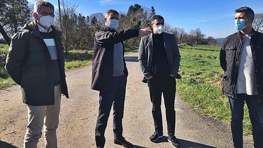
As part of this project, the powers that be, in their infinite wisdom decided to create this swing, called the Columpio de Vilariño de Conso, dubbed "Galicia's Highest Swing." The views of the reservoir, the Embalse de As Portas, as you swing, are fabulous. We both laughed, stating that perhaps some servicios may have been more appropriate on this long and wild stretch! Ha ha! If you want to read a bit more information about the swing, and find its exaction location, go to my story of our day nine on the Sanabrés. Three of these four photos are from MaryEllen on a blue sky day, and the third one is mine, after the storm of the prior day was clearing (where we threw in the towel but went back the following day). Enjoy and I hope to see pictures of you swinging soon!

68-swing-ahead.jpeg

69-Galicias-highest-swing - Copy.jpeg

6-Embalse-de-As-Portas.jpg

70-view-from-swing.jpeg
 
St James' Way - Self-guided 4-7 day Walking Packages, Reading to Southampton, 110 kms
Great to see a route that takes pilgrims off the road here. Not thrilled about gravel but I am not qualified to judge that.

I have walked this stage once in heavy rain with poor visibility and once in fair weather. It's not the worst stretch of roadside but it's scary enough. It's wide enough, empty enough, and straight enough to encourage drivers to drive fast ... but narrow enough and curved enough to put walkers in danger. On the rainy day when I walked it, most drivers were going at a very sensible, slow, speed ... but a few tore through as though they (and we) were invulnerable.
 
New Original Camino Gear Designed Especially with The Modern Peregrino In Mind!
I too have walked this stretch a couple of times, but both times was lucky that I went through when the road was closed to traffic, because of all the construction that was going on. I could see though how it would be dangerous with lots of traffic. The part that was off-road, particularly the descent on a shale hillside, was challenging, especially when wet and slippery.

Like @Raggy, I don’t think gravel is the best solution, but it is probably short term cheapest. Galicia surely loves its hormigón trails! I think there are very few kms of any Camino trail in all of Galicia that have remained “un-improved” by gravel. I know that FICS (the big international Camino Confraternity) has filed several formal complaints about different stretches being turned to crushed rock, but I don’t think they have had any success.
 
And here's another 20,000 Euros worth of gravel for the Sanabres around Dozón, in the name of "landscape improvement and beautification of the Jacobean routes."

The project appears to have neatly coincided with the paving of streets in the area. How handy.
 
I too have walked this stretch a couple of times, but both times was lucky that I went through when the road was closed to traffic, because of all the construction that was going on. I could see though how it would be dangerous with lots of traffic. The part that was off-road, particularly the descent on a shale hillside, was challenging, especially when wet and slippery.
Leaving early in the morning from A Gudiña, I too avoided all the traffic.

I've walked this three times and each time the landscape had changed due to all the construction work, especially the descent into Campobecerros. I remember bitching the whole way down the first time, slipping on loose slate. The second time and third time I just zig-zagged down and wondered to myself what the big deal was before. Different years, different perceptions I guess.

I've also heard that there's a new municipal albergue in A Gudiña. I guess I'll need to go for a fourth time:)
 
Ideal sleeping bag liner whether we want to add a thermal plus to our bag, or if we want to use it alone to sleep in shelters or hostels. Thanks to its mummy shape, it adapts perfectly to our body.

€46,-
I've walked this three times and each time the landscape had changed due to all the construction work, especially the descent into Campobecerros. I remember bitching the whole way down the first time, slipping on loose slate. The second time and third time I just zig-zagged down and wondered to myself what the big deal was before. Different years, different perceptions I guess.
Just after the swing, there is now the option to avoid the track down the mountain. The official mojón, seen in the first photo now directs you to stay on the road to Campobecerros. However, just behind the mojón, as you can see in the same photo, and in close-up in the second photo, there is also the option to do the final uphill via the off-road mountain route which will require the steep descent that you describe. I did it on the day when it was just drying out from the storm the day before and it was steep indeed, but not that slick. I wouldn't want to do it in the rain. A young man we spoke to actually fell down when he did it in the rain. The third photo shows this rocky and steep descent, where the sign shows that horse riders need to get off and walk! But with great efforts, comes great views, I guess, and the last picture tells it all.

71-decision-point.JPG

72-de-la-montana.JPG

19-steep-and-rocky-road.jpg

20-sunshine-over-Campobecerros.jpg
 
Maybe I have just missed it, but is the KML file available somewhere, to download?
I don't suppose I was all that clear. Go to the link to my page, on the day from A Gudiña to A Venda da Capela. Scroll down to my Google map on the page. The map shows the route we took and the new route. If you click on the upper right corner of the map, "view larger map," it will take you to the map, where if you click the three dots in the red bar, you get a menu with the option to "download kml."

If you want the entire route you can go to my Camino Sanabrés page and do the same thing from my Google map there!
 
New Original Camino Gear Designed Especially with The Modern Peregrino In Mind!

Most read last week in this forum

After Requejo, you pass thru a little town, Padornelo and then by a gas station with a bar. You follow N-525 for a short way and then come to a turn off to the right, leading thru Aciberos. There...
My daughter just has a few weeks off so we flew to Portugal to visit my brother in Braga, then he drove us up to Puebla de Sanabria to walk the Camino Sanabres. Tomorrow we start walking, but I...
Greetings from sunny Cea. Are there any hostels between Cea and A Laxe? Hostel in Castro Dozon is closed
After Olleros de Tera at one point you will come to a crossing where there are two arrows. One pointing to the road and one pointing straight on into the greenery. If you have the Via de la Plata...
For anyone around Sevilla, next Saturday marks the end of the annual week long fiesta. I have just had a conversation, as I do weekly (to help her with English), with a friend who is from there...
I’m at Almadén de la Plata at the moment, and my options for tomorrow are to go as far as El Real de la Jara (approx 14km) or continue on to Monesterio (approx 34km). 34 km is a bit far for day 4...

❓How to ask a question

How to post a new question on the Camino Forum.

Forum Rules

Forum Rules

Camino Updates on YouTube

Camino Conversations

Most downloaded Resources

This site is run by Ivar at

in Santiago de Compostela.
This site participates in the Amazon Affiliate program, designed to provide a means for Ivar to earn fees by linking to Amazon
Official Camino Passport (Credential) | 2024 Camino Guides
Back
Top