
- Time of past OR future Camino
- CF Spring 2022
CP Spring 2024
Although Google Maps seems to be everyone’s default for navigation assistance and route planning (including mine), as an iPhone user it’s been interesting to see how far Apple has come with its native Maps app in iOS since it launched years ago.
Among the features I really like is the automatic “Flyover tour” which provides a literal bird’s eye view in 3D over selected cities while pointing out significant landmarks along the way. (You can somewhat do this manually using Google Maps by pinching and zooming but as far as I know only Apple Maps provides the animation part.)
Flyover tours only used to be available for larger cities like New York, London, Paris, and Rome but they’ve started to expand it to medium and smaller size cities as well - including two on the Camino Frances!
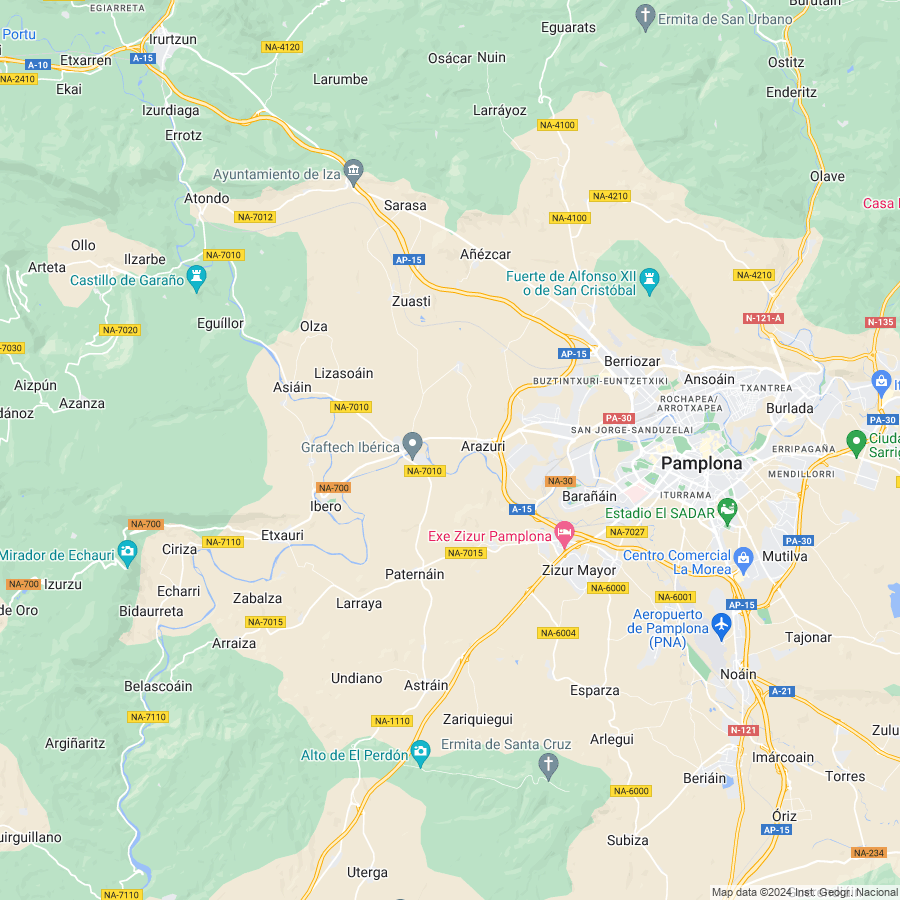
Pamplona
 maps.apple.com
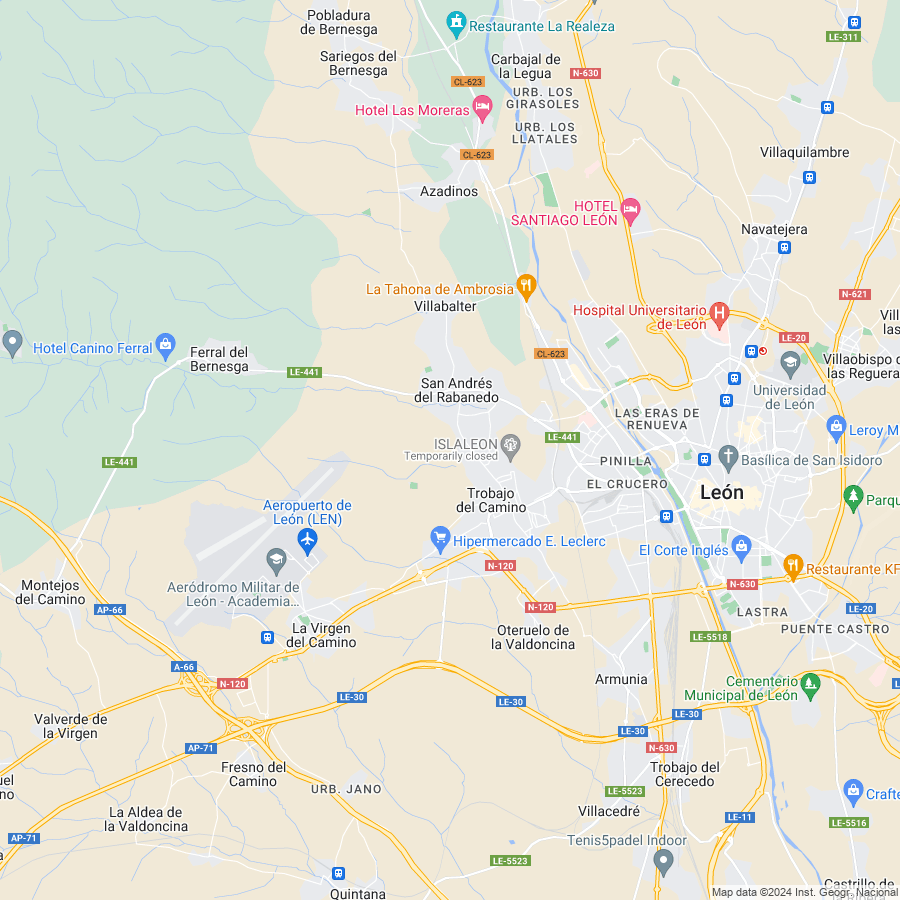
León
 maps.apple.com
iPhone users will find those links will open in the Maps app on your phone - hit the “Flyover” button to begin your virtual tour. (Not sure what happens when you visit the links on an Android phone, though I suspect they will open in Google Maps instead.)
Thought this would be fun to share for anyone wanting to orient themselves before a trip (like me) or for revisiting two CF cities for those who have been there before. Enjoy!
Among the features I really like is the automatic “Flyover tour” which provides a literal bird’s eye view in 3D over selected cities while pointing out significant landmarks along the way. (You can somewhat do this manually using Google Maps by pinching and zooming but as far as I know only Apple Maps provides the animation part.)
Flyover tours only used to be available for larger cities like New York, London, Paris, and Rome but they’ve started to expand it to medium and smaller size cities as well - including two on the Camino Frances!
Pamplona
Google Maps
Find local businesses, view maps and get driving directions in Google Maps.
León
Google Maps
Find local businesses, view maps and get driving directions in Google Maps.
iPhone users will find those links will open in the Maps app on your phone - hit the “Flyover” button to begin your virtual tour. (Not sure what happens when you visit the links on an Android phone, though I suspect they will open in Google Maps instead.)
Thought this would be fun to share for anyone wanting to orient themselves before a trip (like me) or for revisiting two CF cities for those who have been there before. Enjoy!
Last edited:

