BobM
Veteran Member
- Time of past OR future Camino
- V Frances; V Podensis; V Francigena; V Portugues; V Francigena del Sud; Jakobsweg. Jaffa - Jerusalem
Monday, June 17
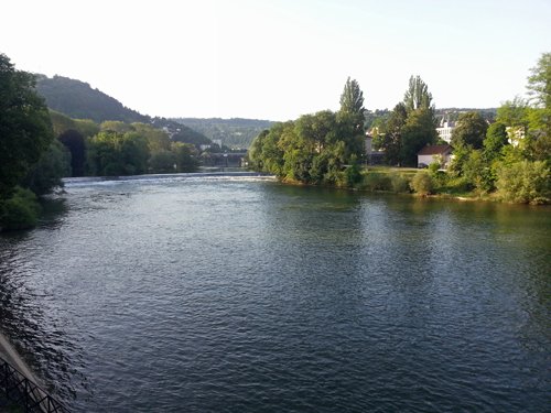
On my return to Besancon in June 2013 after walking there from Canterbury in 2012 I found the city to be still a work in progress.
The streets are still in a chaos of construction as the new tram line is installed and residents complain in the paper about noise and disruption.
The kebab café near the train station where I ate and chatted to the owner last year, a respectable Turkish man, has now closed down with no trace whatever left of its former life – just cold, anonymous metal shutters.
I understand the tram project, but what became of the Turkish man? Why did his life change? People always have to eat, especially all those young travellers pouring through the busy train station – and kebabs are quick and cheap. All things change, but some changes make me feel sad.
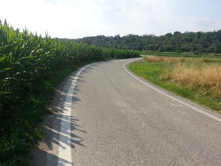
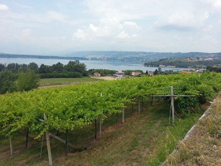
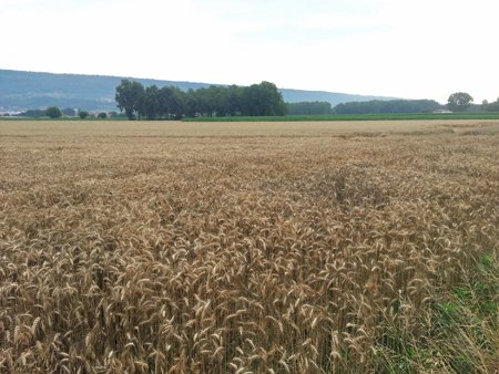
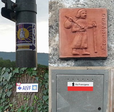
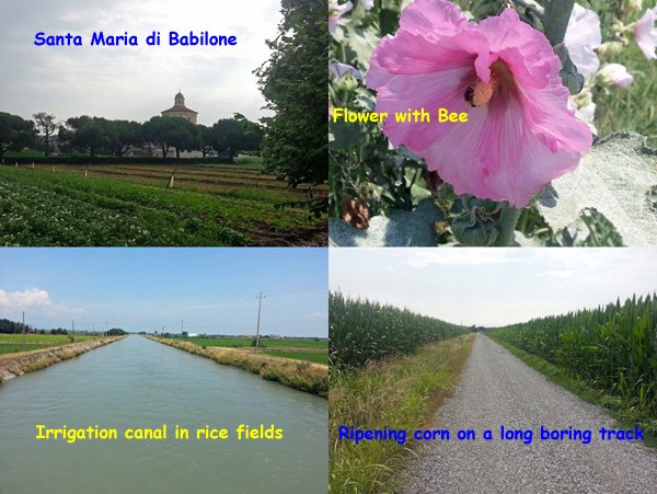
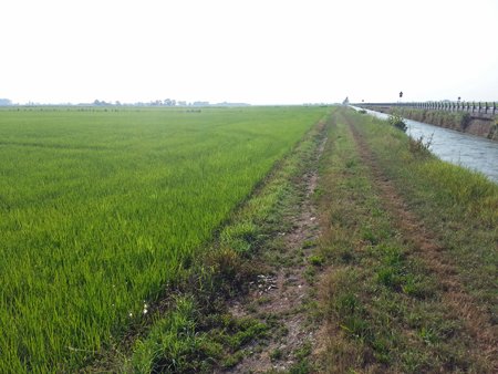
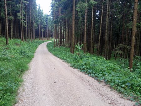
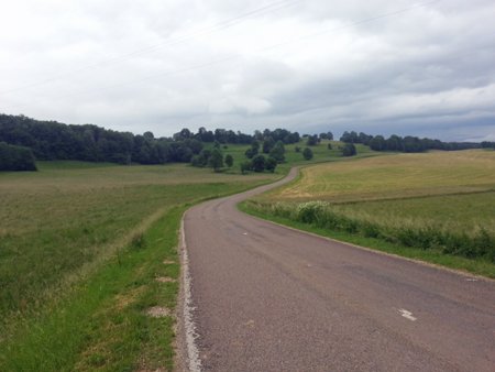
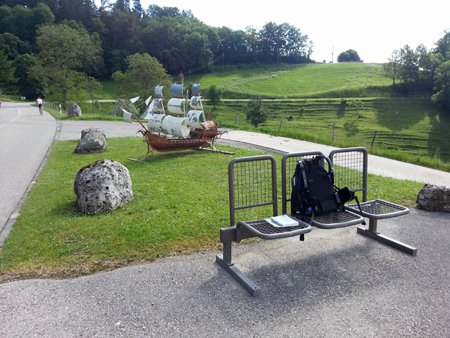
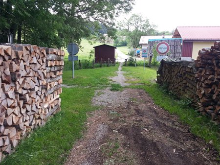
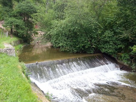
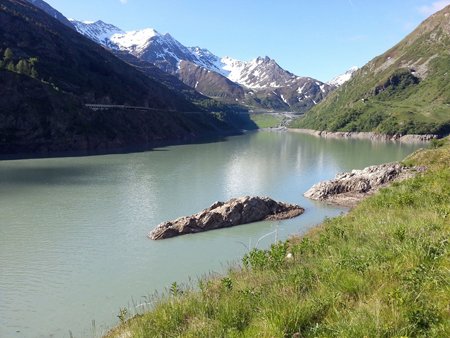
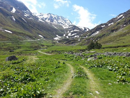
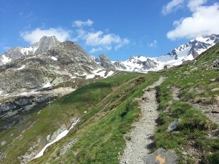
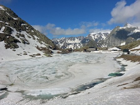
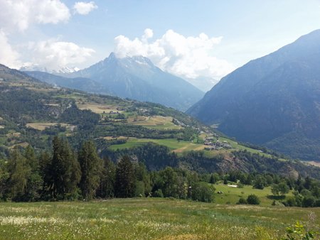
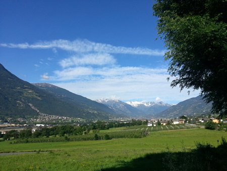
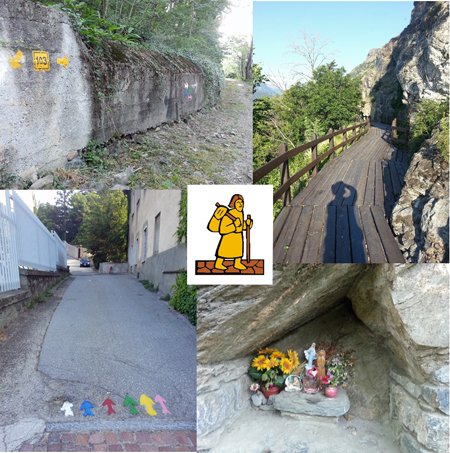
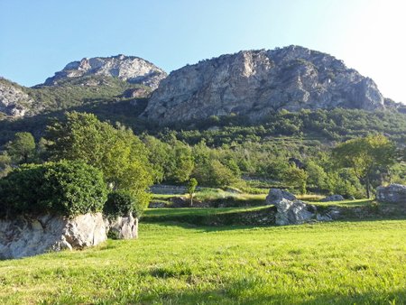
Tomorrow I start on the journey to Vercelli, the next section of my three-year Via Francigena. Four years if I count the year I wimped out because I thought it would be too hard. Another leap into the unknown, the looming Pass through snaggle-tooth mountains always in the back of my mind.
The Pass is also a big psychological divide. Once over it, the way is downhill, the challenge met, all will be easy after the Pass. How often do we say to ourselves, I will be happy if I win the lottery or some other dream comes true? But success always seems to sow the seeds of a vague discontent, a yearning for something more that can’t quite be grasped.
Bob M
On my return to Besancon in June 2013 after walking there from Canterbury in 2012 I found the city to be still a work in progress.
The streets are still in a chaos of construction as the new tram line is installed and residents complain in the paper about noise and disruption.
The kebab café near the train station where I ate and chatted to the owner last year, a respectable Turkish man, has now closed down with no trace whatever left of its former life – just cold, anonymous metal shutters.
I understand the tram project, but what became of the Turkish man? Why did his life change? People always have to eat, especially all those young travellers pouring through the busy train station – and kebabs are quick and cheap. All things change, but some changes make me feel sad.
Tomorrow I start on the journey to Vercelli, the next section of my three-year Via Francigena. Four years if I count the year I wimped out because I thought it would be too hard. Another leap into the unknown, the looming Pass through snaggle-tooth mountains always in the back of my mind.
The Pass is also a big psychological divide. Once over it, the way is downhill, the challenge met, all will be easy after the Pass. How often do we say to ourselves, I will be happy if I win the lottery or some other dream comes true? But success always seems to sow the seeds of a vague discontent, a yearning for something more that can’t quite be grasped.
Bob M


 It's often a real nightmare to rejig a website, but you have done well. Thx for the section for comments/help etc.