- Time of past OR future Camino
- Via Gebennensis (2018)
Via Podiensis (2018)
Voie Nive Bidassoa (2018)
Camino Del Norte (2018)
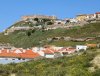
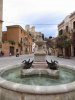
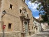
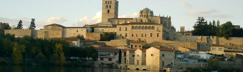
Day 8: Moixent to La Font de la Figuera
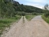
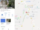
This is the 4th stage of the Camino de Levante. It's a 17.6 km walk
Leaving Moixent, after approximately 4 km, the track climbs to a plateau. I found the best description of this stage in @peregrina2000 's blog:
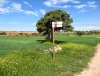
The Amigos list three options for accommodation in La Fuente de la Figuera:
- the municipal albergue, the keys of which you can get either at the local police or at the town hall. In 2018, @Ernesto.IT had a bad experience there in June, but @alansykes had a good one earlier in April, and it looks like things were cleaned up in July when Hugh McMullan went through.
- the Casa rural Ca l'Amable
- the Hotel rural L'Amable
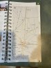
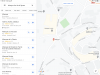
I downloaded this town map (below) from https://lafontdelafiguera.net/es/turismo-1/descarga-de-mapas/, and it shows the albergue in the lower left corner (number 17):

But I think number 31 should be 25 and vice versa
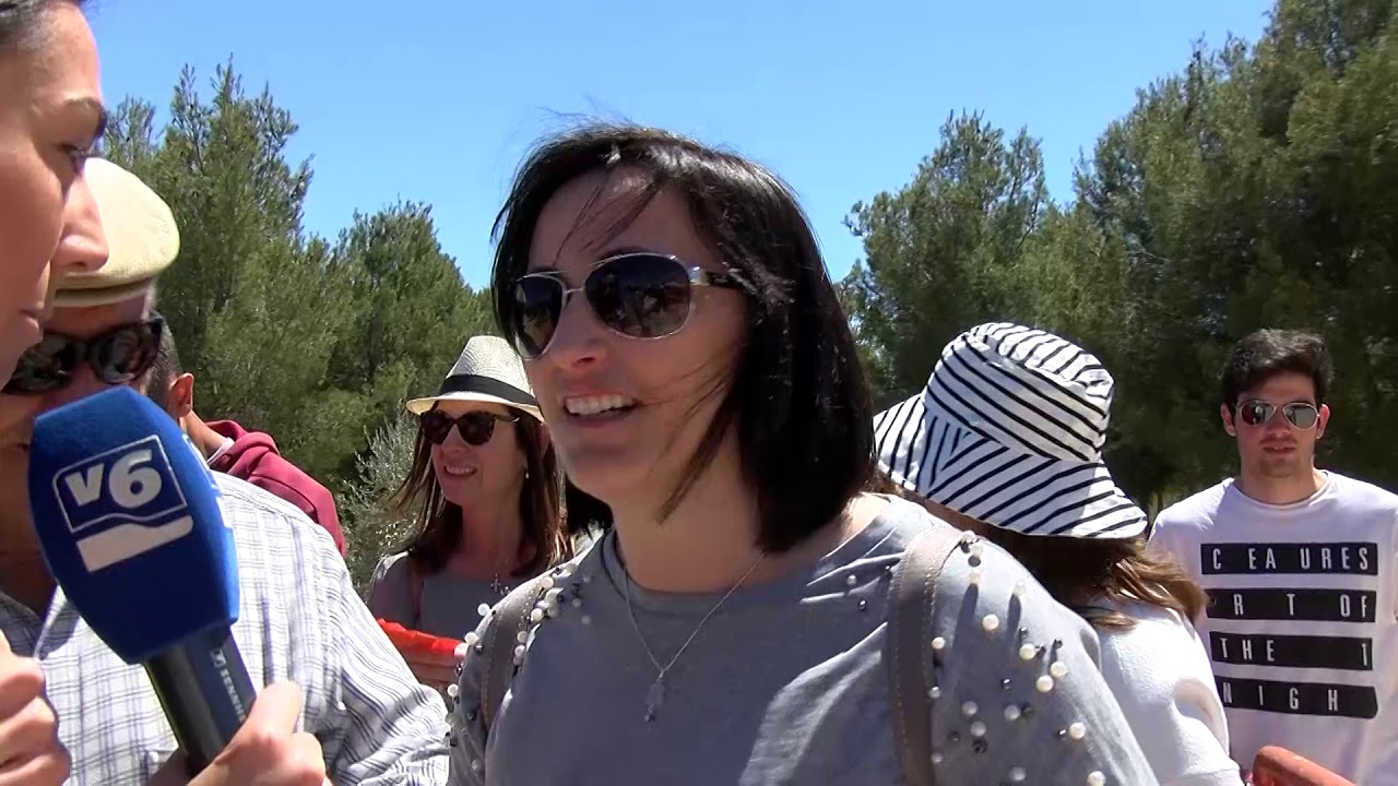
If you're walking early September, you might be able to see the festivities for the patron saint, la Mare de Déu dels Xics. This includes dances in the Plaza Mayor. I'll leave you with this video (Note: you only need to watch the first 8.5 minutes, as it is repeated)
We won't be staying up late any way, we have a big day ahead tomorrow!
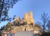
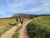
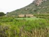
This is the 4th stage of the Camino de Levante. It's a 17.6 km walk
Leaving Moixent, after approximately 4 km, the track climbs to a plateau. I found the best description of this stage in @peregrina2000 's blog:
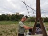
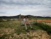
The terrain is changing. The coastal plains filled with orange groves, rice paddies, and fruit orchards, are giving way to hillier land with olive trees, vineyards, and even some fields of grain. It was a beautiful walk, pure Camino. Frogs croaking in a marsh, birds, and oh the wildflowers are out in force. Purple, red, yellow, white, you name it. Just beautiful.
The Amigos list three options for accommodation in La Fuente de la Figuera:
- the municipal albergue, the keys of which you can get either at the local police or at the town hall. In 2018, @Ernesto.IT had a bad experience there in June, but @alansykes had a good one earlier in April, and it looks like things were cleaned up in July when Hugh McMullan went through.
- the Casa rural Ca l'Amable
- the Hotel rural L'Amable
I downloaded this town map (below) from https://lafontdelafiguera.net/es/turismo-1/descarga-de-mapas/, and it shows the albergue in the lower left corner (number 17):
But I think number 31 should be 25 and vice versa
If you're walking early September, you might be able to see the festivities for the patron saint, la Mare de Déu dels Xics. This includes dances in the Plaza Mayor. I'll leave you with this video (Note: you only need to watch the first 8.5 minutes, as it is repeated)
We won't be staying up late any way, we have a big day ahead tomorrow!


 instead.