You have a certain point - the elevation profile of the trail from SJPP to Roncesvalles across the Lepoeder pass ("Route Napoleon") looks scary because people, me included, tend to project the profile that they see on paper into reality, as if the sketch is a a true rendition of the actual shape of the hill or mountain. Here are two elevation profiles of the same "Route Napoleon mountain" to illustrate what this part of the discussion is about:
View attachment 132072
The first sketch is from the popular
Brierley guide. IMHO, it does illustrate the nature of the terrain: a non-hostile big lump that promises a long drawn-out slog over the pass with a shorter descent to Roncesvalles. I don't think that this scares people. What scares some of them is the talk about it being so terribly steep, the hardest thing I've ever done (or you'll ever be doing) and similar. This gives people the impression as if the whole trail is very steep; the talk about gradients may even reinforce this impression and is probably not helpful for numerous newcomers. Is it even useful in this context? You don't walk straight up a mountain. You walk on a trail that bends and turns and sometimes - only once on the Route N. - it goes in zig-zag-lines, and all of this with a lower gradient which requires more time to walk than a straight line but is also less strenuous.
What matters for mountain and hill walkers is how close the contour lines are to each other on the map and whether the trail cuts straight through them or diagonally. Of course, the common wisdom says that you don't need a proper map for the Camino and you don't need to know what it can tell you provided you know how to read it. The Spanish Camino Association offers such a map on their website. It is not widely known. It shows clearly that there are very few steep sections, about three in total, one at the beginning, one in the middle (zig-zags) and one close to the pass, and all three of them are short.
View attachment 132073
Link to complete map:


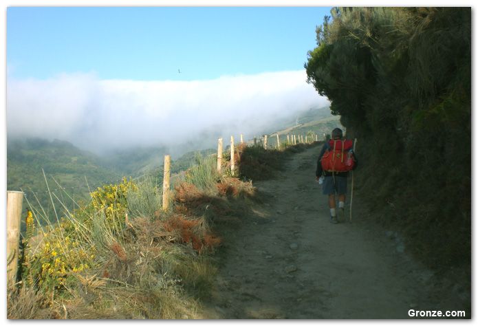


") . I do like to know how many "hills" there will be (especially at the end) and I like to know if I am going up or down most of the day. Otherwise, try not to think about it too much.
. I do like to know how many "hills" there will be (especially at the end) and I like to know if I am going up or down most of the day. Otherwise, try not to think about it too much.![20220902_134217[1].jpg](https://caminoforum-4df7.kxcdn.com/data/attachments/130/130719-bf9de516e19ce5620bc94dbf92ddd6d8.jpg)


![20220902_134226[1].jpg](https://caminoforum-4df7.kxcdn.com/data/attachments/130/130721-41847a01c4ac792a3953d225b8d12088.jpg "20220902_134226[1].jpg")


