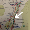
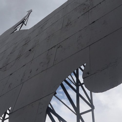
Wondering if anyone has any clearer directions than the Brierley book on the more scenic route after OPorrino titled the Chans opción. It looks like 2.5 k out of OPorriño Central that takes you to Mos. The directions are very confusing "the waymarks have been obliterated. This offers to take the tranquil river path by the rio Louro. To take this alternative 'green' route keep s/o and take the NEXT turn left and cross the N-550. Turn right and veer left 50m and cross the rail line (.2k) Continue parallel to the rail track past timber yard and turn left to cross Ponte Loura (.5k) Take the river path right and continue along the river bank crossing several country lanes until the path ends at childrens play area (3k) with the church of Santa Eulalia clearly visible above. Take the road up steeply to join the waymarked route at Mos (.2k) Total: 4.2-4.3k. A few friends who were on that path today, got past the timber yard, but then couldn't find the path to the river. Anyone done this and maybe has photos or a better description? Thanks! .
. 
 .
. 


