Smallest_Sparrow
Life is rarely what you expect or believe it to be
- Time of past OR future Camino
- 2012: most of some, all of a few, a bit of others
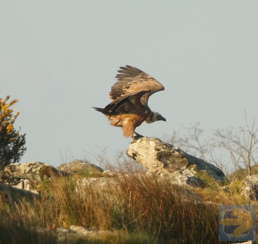
The ones that land in my yard leave if I walk outside which is more than can be said for other more assertive wildlife…although it does cut down on the cats begging to be let outNot here they don't.