• For 2024 Pilgrims: €50,- donation = 1 year with no ads on the forum + 90% off any 2024 Guide. More here.
    (Discount code sent to you by Private Message after your donation)
  • ⚠️ Emergency contact in Spain - Dial 112 and AlertCops app. More on this here.

Search 69,459 Camino Questions

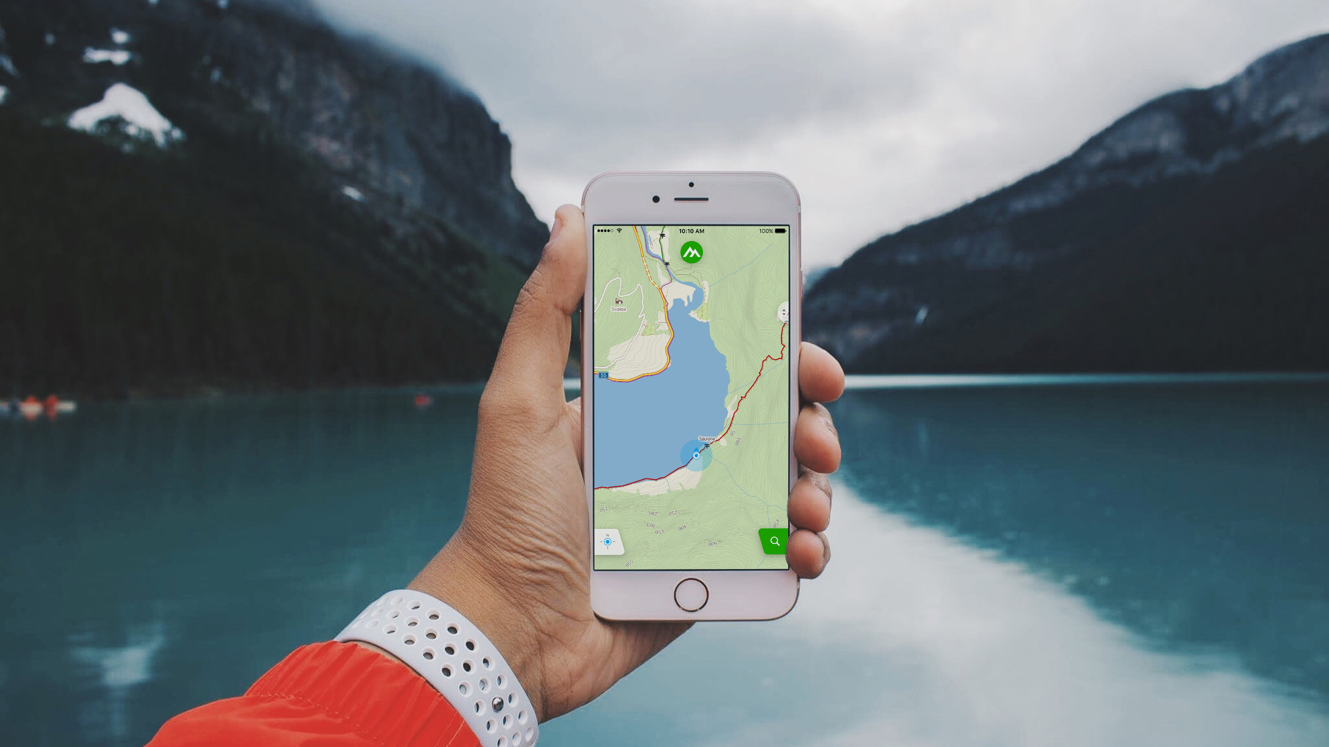
Your Fav Maps APP!

Status
Not open for further replies.
you can find all avaiable track files here


the vila do conde - rates sttretch is well signposted, no problem, a bit dangerous in places with lots of traffic on very narrow roads with no hard shoulder, but you would not get lost
FWIW, although the source is official many of the tracks are not accurate. I have not done a survey of them all, but for fun I just downloaded the last section of the Portugues and have found 3 parts in the last 15km that are very much incorrect.

Does it make a great deal of difference? In some cases it does not, but in at least one case the link above keeps pilgrims on the main road in error.

I'm not sure what point I'm trying to make here, except perhaps that camino dedicated apps are almost universally created by people with close ties to the camino and its state of evolution... while some sources can easily go unmaintained for years.

And to remind you that no matter what option you chose, it is best to follow the arrows and common sense once you are on the camino.
 
Join our full-service guided tour of the Basque Country and let us pamper you!
Now do a search for a KML file for a walk somewhere close to you in Florida. Download it and head on out there when you get a chance so you can see what it's like "boots on the ground"

Next week: routes to follow vs the track you left behind you!
That sounds like fun too. I must to try.
 
I'm not trying to push anything. I'm actually trying to give you good advice.

MAPS.ME do not have distances betwen cities, prices for accommodations, etc. The KML files you downloaded are not very updated and do not have the information you probably want.

Guidebooks have not been updated last year and this year because of the pandemic. And a lot of changes happened since then. The biggest guidebook available is even recommending using apps this year.

You have multible apps available with offline information. And most of them free, They all have more updated information than what you have with MAPS.ME and the KML files you downloaded.

Here is a list from the the top of my head that probably all have better information than what you downloaded: Camino Ninja App, Editorial Buen Camino, CaminoTool, Wisely ...and there is probaly 10 or 20 more. And most of them are free.

I can probably make a very long list of reasons why I think my app is the best, but it is really not relevant here and everyone have their own preferences. But there is one vital thing it has right now that other apps do not have. Information about what accommodations are open and not.

That information can also be forund here:

From Porto to the Spanish border:
https://albergueperegrinosporto.pt/theway

From Tui to Santiago:
https://ideas-peregrinas.com/camino/

The information on the lists are also in the Camino Ninja App. And a lot more information you probably also want.

The lists are updated daily. And so is the app. Almost everyone walking in Portugal uses the app, and for a very good reason. You will find out when you are there.

I just want to let you know so you are informed. I'm not trying to push anything. I just don't want you to be uninformed.

Best
Interesting to know too. Thank you v
 
Very light, comfortable and compressible poncho. Specially designed for protection against water for any activity.

Our Atmospheric H30 poncho offers lightness and waterproofness. Easily compressible and made with our Waterproof fabric, its heat-sealed interior seams guarantee its waterproofness. Includes carrying bag.

€60,-
I agree with you that for the Camino, a dedicated Camino app is really great - they have the offline maps, albergues, points of interest, distances between towns, what services are offered in each town, such as banks, restaurants, etc.
I am a Buen Camino fan, but I will try Camino Ninja on my next Camino. The only time that I needed to download a separate map was for the connection between the Portuguese Coastal and Central routes.
I also have Wise Pilgrim apps on my phone. I primarily use Buen Camino, but if there is any confusion or to read albergue ratings I will consult Wise Pilgrim.
It is impressive how many of these apps are out there! And all a bit different, offering different things. I am discovering them and It is cool to see the differences etc... I dont plan to be on the camino still for a long time so i dont need any specific app at the moment but it is cool to take a pic at each one now. i believe it could be hard for someone have their heart set on just ONE app. But i also believe all this technology should not take away from the experience. Knowing a few of them for an emergency it is great as tool. If someone can actually trust that map there. Lol. I was intrigued to learn importing Kml and how to do it. Something totally new until this week. Now i will also check a bit more the other one you told me. I like that one too. Windy one. It was fun playing with it even to just walk in my city here. But will delete after most of them and keep just a few that i like. I hope i will not be there on my phone all the time on apps because i am lost. Lol i never hiked with apps but will have one or two with me this time just in case.
 
And thank you Joan and your whole team for all your service and work!
I did not even know that Anton Pombo was in your team!

Your website is always up to date and keeps to the facts!

The last time I was able to use your expertise was on the Camino Vasco Interior two years ago. The information proved to be very useful.
This is the team: https://www.gronze.com/sobre-gronze/equipo
 
I am using gronze right now, to plan the last part of my Levante walk: from Zamora to Santiago on the VdlP//Sanabres. Much of it is familiar to me, as I walked the VdlP/Sanabres from Sevilla in 2017. But now, I am looking for private accommodation and for up-to-date information on what is open. I trust gronze for this, although I know that, in this time of pandemic, things may change rapidly. How can I tell you if a place that is open as I am planning right now is closed as I walk through in October or November? I want you, and trust you, to give up-to-date information to the pilgrims who follow me.
 
Last edited:
3rd Edition. More content, training & pack guides avoid common mistakes, bed bugs etc
Holy moly!

Kml, Gpx, parameters, research, downloads, administrate , … .

Today I want to recommend a navigation-/ routing- / map-tool. I don‘t argue against the really helpful Camino apps and Gronze full of useful informations, etapes, acommodations, restaurants, bars, distances, tips, history, … !

I‘m a kind of mobile junkie. In normal life i used and use Google maps, Apple maps, OsmAnd, Maps.me, Komoot, Here we go and several others to test or regularly. In the past (in my Windows mobile times and later) i used TomTom, Navigon and others.

On my Camino Portuguese in 2018 a czech girl recommended MAPY.CZ. Never heard before.

What can i say?

Phantastic, free, offline routing, several languages, import of files (but not necessary for your Camino).

Mapy.cz brings all existing routes, tracks, ways, … with the downloaded maps! All caminos on board! You are not dependent on tracks of questionable / unknown quality someone recorded by walking here and there, back, left, right, not the „real“ path… .

Zooming into a map you will automatically see the several ways in the area In different colours and named. In the middle of a forest mapy.cz maps knows the small fern path! Knows albergues, water points, … and even shows the Camino mile stones in the middle of nowhere. Tapping on the icon it says the kilometer.

Since 2018 i almost only use Mapy.cz.

No financial or other interests! Just happy with it since then. And: this is a really easy to use app regarding some others mentioned here (available on IOS / Apple and Android).

Hope my tip can assist you on your fantastic Camino,

So long
DonCamino
 
Last edited:
Ideal sleeping bag liner whether we want to add a thermal plus to our bag, or if we want to use it alone to sleep in shelters or hostels. Thanks to its mummy shape, it adapts perfectly to our body.

€46,-
Holy moly!

Kml, Gpx, parameters, research, downloads, administrate , … .

I‘m a kind of mobile junkee. I use (in normal life) Google maps, Apple maps, OsmAnd, Maps.me, Komoot, Here we go and several others to test or regularly.

On my Camino Portuguese in 2018 a czech girl recommended MAPY.CZ. Never heard before.

What can i say?

Phantastic, free, offline routing, several languages, import of files (but not necessary for your Camino). Mapy.cz brings all existing routes, tracks, ways, … with the downloaded maps! All caminos on board! You are not dependent on tracks of questionable / unknown quality someone recorded by walking here and there, back, left, right, not the „real“ path… .

Zooming into a map you will automatically see the several ways in the area In different colours and named. In the middle of a forest mapy.cz maps knows the small fern path! Knows albergues, water points, … and even shows the Camino mile stones in the middle of nowhere. Tapping on the icon it says the kilometer.

Since 2018 i almost only use Mapy.cz.

No financial or other interests! Just happy with it since then. And: this is a really easy to use app regarding some others mentioned here (available on IOS / Apple and Android).

Hope my tip can assist you on your phantastic Camino,

So long
DonCamino
It's basically the same as Windy Maps, which is fantastic. From the same developer.

I noticed that Windy has at least one additional feature - the ability to track and record your own walks and hikes.
 
It's basically the same as Windy Maps, which is fantastic. From the same developer.

I noticed that Windy has at least one additional feature - the ability to track and record your own walks and hikes.
same with mapy.cz. Tap the zwo „feet“ icon for tracking
 
€2,-/day will present your project to thousands of visitors each day. All interested in the Camino de Santiago.
Renascer - thank you for your success response. I have not been able to get the KML files to load to Maps.me on my iPhone. Deleted Maps.me then reloaded it. Made the mistake of loading KML files before downloading Portugal map, but once I did, the KML files showed up Other thing I did was switch to Chrome instead of Safari. Thanks for taking the time to load the screen shots.
 
I will close this thread now. It is two years old and several newer threads can be found by clicking on the tag "phones/apps/gps/maps" under the title of the thread.
 
Status
Not open for further replies.

Most read last week in this forum

Hi everyone, I went on a short coastal Camino Portugues in March with my 11 year old son and wanted to share some of my experiences here. We walked a very small part of the Camino. We started...
Hi fellow pilgrims! I have walked 1450km over several years on the Camino Frances alone, without planning much. This year is going to be very different! I have convinced my mom to come with me. I...
Hi, arrived in Porto today starting the coastal camino on Friday! I just found out the hostel I am staying at does not allow pack pick up. Im walking to vila cha 1st day and physically I cannot...

❓How to ask a question

How to post a new question on the Camino Forum.

Forum Rules

Forum Rules

Camino Updates on YouTube

Camino Conversations

Most downloaded Resources

This site is run by Ivar at

in Santiago de Compostela.
This site participates in the Amazon Affiliate program, designed to provide a means for Ivar to earn fees by linking to Amazon
Official Camino Passport (Credential) | 2024 Camino Guides
Back
Top