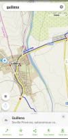
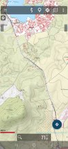
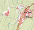
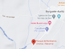
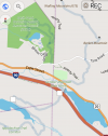
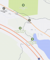
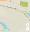
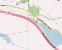
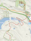
In reality, you will probably be taking out your phone every now and then to check which way to go when the path splits, how far you have travelled and how long you have left to go. You may simply want to see where the nearest coffee is.
However, there are lots of things to use a GPS device (or your phone) for other than basic navigation.
One is to record your journey, the route (and time) you took. That recording can then be used with other services (Strava, RWGPS, Komoot, Relive etc.) to create a record of your day, complete with photos, notes and even music (sometimes). Specific places can be recorded, photos added and notes recorded. These can be shared or kept private.
In a similar vein, any half decent app should allow you to create your own route to your specifications (for example to avoid that steep, rocky descent and take a road, then rejoin the path).
Another is to share your (exact) route, planned or completed, with others who also use GPS. Think other pilgrims or family at home.
A useful tool (on some services) are POIs (Points of Interest) that can show a variety of things that may be of interest from water fountains to hotels, stores to hospitals, historical sites to laundromats - Not just on your route but on all the map.
A service or app that works "live" can be used to change plans on a whim. It is nearly always best practice to use a downloaded basemap so that you
always have this functionality and not depend on cellphone connection.
Some offer vocal turn by turn directions (although the accuracy of those can be dubious. Not that you'll miss a turn, more that every little twist requires an instruction).
Elevation gain (and loss) can be a useful tool too. A useful service will show the elevation profile and the climbing or descent still to be achieved.
Some services will link with other apps (example BookingDotCom) to plot a route to your bed for the night.
Similarly, a search function can be very useful. That may be by address, postcode or simply "doctor near me".
Perhaps the greatest use of a GPS device is that it can give some of us the confidence to actually get up and go. To explore strange places. To go off the beaten path.
However, the flip side of that confidence can lead to giving other factors less importance - What I call "The computer says "yes" syndrome" and ignoring obvious hazards or warning signs because "the route goes that way".
Weather can be a big factor. The route can be physically damaged. Or perhaps the file you are using is not the correct one or designed for someone on a horse! (Been there!

)
Common sense is one of the most important senses to utilise when using GPS.
Battery anxiety can be a thing, especially if recording your route, although, in reality unlikely to be an issue unless you're off grid for several days (and easily cured with a power bank).
Your GPS location may not always be 100% accurate making it seem as if you are off course.
Some services are more accurate, more up to date in certain areas and less so in others. I'd imagine any Camino specific apps are more up to date for Camino routes but of very little use away from them - an important point when it comes to becoming familiar with them.
Imported files (created by another) can change when displayed on a new map. We should be careful in choosing GPS files available on the Internet. These should be checked. Alternatively, you can create your own.
Slavishly following an electronic route can remove a lot of the sensual aspects of a journey.
The hunt for a yellow arrow is not the same as a flashing arrow and monotone instruction on your phone!
Pulling out a paper map at a coffee stop is a great way to invite discussion, whereas peering at your phone? Not so much.
I'd encourage anyone to have a think about what they want from their GPS service and how they want to use it then seek out the services or apps that best satisfy that need.
In reality, you'll probably end up using several as some will work better than others in different situations.
Every service or app will require practise, and lots of it, to understand how it works and its limitations. I cannot stress enough the importance of practise. Switch off wifi and cellular service as part of the practise.
One thing to consider is the usefulness away from the Camino. An app like Osmand* mentioned above can be used on a bike or in a car as well. It can be used (and tested) before your Camino and long after too.
*I have used Osmand for years. I found it to have a very steep learning curve but find it incredibly useful. It is my go to GPS app.
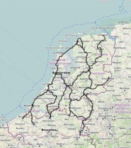
PS. I'm more of a person on a bike and the main use of my (dedicated) gps unit is to record where I've been, For each day I have my route, my start point, my end point and all the photographs in between. I can see how far I travelled, how many meters I climbed (sometimes kilometres!) and the temperatures I did it in. A full and complete record of my day with the minimal of effort. It is incredibly valuable to me.
Having the device (and Osmand and another bike route planner on my phone) has given me almost complete freedom to wander where I will, making up my route as I please. As someone who could get lost in a cupboard it has really opened up the world to me.


