Thanks for the GPX-link. I have imported it. It is the way up... the way done is e. g. part of the all-Camino-gpx-file.
It seems to be really difficult, e. g.:
https://www.caminodesantiago.me/com...-the-caminos-by-difficulty.53413/#post-595616
Recommendations for San Juan de la Peña
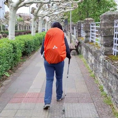
* GPS: I have a new outdoor smartphone for my camino. GPS is very good compared to my (almost not usable) GPS on my old smartphone
* Poles
* Good weather (not wet, no rain)
* Healthy and fit (no blisters, no foot problems or similar problems)
Do you have additional recommendations for the decision San Juan de la Peña: Yes or no?
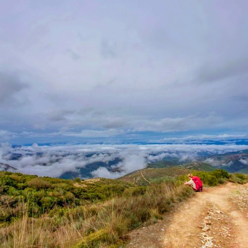
It will be probably not so easy to find the right decision on the second day (or so) of my first camino.
I should probably wake up early... make a break at the crossway... and think: the camino will provide.
Of course, if I try it and it is too difficult... I can take a closer alburgue / hostel / hotel or call a taxi.