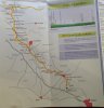
Here is another map of the Camino Madrid.
I have one or two more. I'll look for them today.
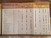
I have a few notes that might be helpful:
1)
Honestly, there are only two place that you might get confused.
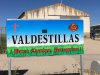
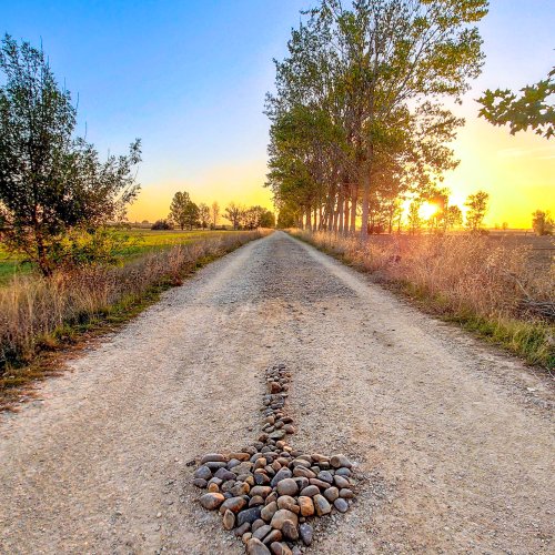
The worst, for me, is right past Valdestillas (see photo of sign).
You will walk all the way through the village to the end.
You will turn RIGHT, go past the rail station and over a bridge.
THEN PAY ATTENTION.
If you look straight ahead across the highway, there is a yellow flecha that indicates a path into the forest.
DO NOT GO INTO THE FOREST. It will take you miles out of your way and you'll have to double back.
We followed that arrow - what a mess.
Instead, you will turn LEFT and walk along the highway to Puente Duero.
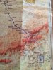
2)
At the TOP of the hill after Cercidilla, after you've climbed through the beauty,
you reach a place where it makes sense to stop and rest.
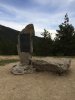
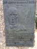
There is a monument there to Jose Covelo.
There is a good fountain here, but you can't see it.
You will be at a "Y" in the road.
If you are going to Valsain you will continue on down to the left.
But the fountain is on the road to the RIGHT just a few yards.
So, you can fill up, then come back to the summit and continue down.
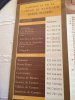
3)
After Santervas, there are two clearly marked choices; to Melgar to the left up a dirt track and a shorter route to Arenillas along the road, the so-called "official" route. Do not walk on the levy. Look closely to the left of the levy and you will find a path through the bottomland
Except for these places, the Madrid route was very easy to follow, very clearly marked.
I did not do the stage into Sahagun, which I understand could be confusing.
I will do it this year.
I will post photos
Buen Camino.


")