
-
For 2024 Pilgrims: €50,- donation = 1 year with no ads on the forum + 90% off any 2024 Guide. More here.
(Discount code sent to you by Private Message after your donation)
Search 69,459 Camino Questions
Camino de Santiago map
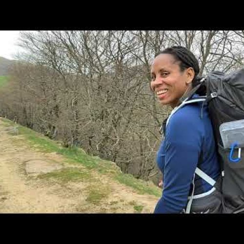
- Thread starter Lynne
- Start date

") .
.


❓How to ask a question
How to post a new question on the Camino Forum.
Latest posts
-
-
 Where do ( did ) you walk locally in 2024?
- Latest: Arctic_Alex
-

-
Similar threads
-
 "The Camino de Santiago defeats Nelson"!
- Started by Bradypus
- Replies: 1
-
Student Research into the Camino de Santiago
- Started by caminoresearch
- Replies: 8
-
 For Sale/Wanted For sale (UK): Framed Camino "Big Map"
- Started by Diem
- Replies: 2
-

Forum Rules

Camino Updates on YouTube

Most downloaded Resources
-
 “All” Albergues on the Camino Frances in one pdf“All” Albergues on the Camino Frances in one pdf
- ivar
- Updated:
-
 A selection of favorite albergues on the Camino FrancésFavorite Albergues along the Camino Frances
- Ton van Tilburg
- Updated:
-
 Profile maps of all 34 stages of the Camino FrancesProfile maps of all 34 stages of the Camino Frances
- ivar
- Updated: