Hi all,
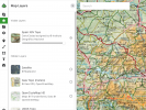
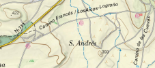
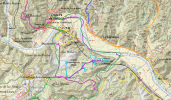
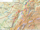
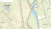
I am trying to do some route planning for the Camino. Starting on the Frances, San Salvador and Primitivo. I have used GaiaGPS in the past for hiking in the US. I have not found a good layer for doing snap-to-trail route planning. I assume I'm using the wrong layer - but what layer would have the trail on it?
Thanks.
Vic


