• For 2024 Pilgrims: €50,- donation = 1 year with no ads on the forum + 90% off any 2024 Guide. More here.
    (Discount code sent to you by Private Message after your donation)

Search 69,459 Camino Questions

Atlas Climático Digital de la Península Ibérica

The ultimate answer for all those "what's the weather going to be like" questions, set up by a team at the Autonomous University of Barcelona. Displays maps of min/max/mean temps and precipitation, either annual or per month. Supposedly to 200m squares, so you can zoom in, tho this is not as useful as it sounds, as they don't provide an overlay of towns, so it's hard to relate the climatic data to actual places. (There's also solar radiation, tho I suspect this means little to most non-specialists.)
As it says on the tin, Península Ibérica, so covers Portugal as well as Spain.

http://opengis.uab.es/wms/iberia/mms/index.htm and there's some explanatory text in English at http://www.opengis.uab.es/wms/iberia/en_index.htm

The info is also available as a web service, so I was planning on overlaying it with my map of routes, and perhaps the METAR data from weather stations. However, there are several snags, not least that the server does not seem to include the colour key. Perhaps I will return to this next year . . . mañana . . . mañana
 
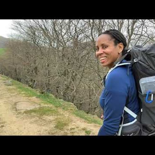
Technical backpack for day trips with backpack cover and internal compartment for the hydration bladder. Ideal daypack for excursions where we need a medium capacity backpack. The back with Air Flow System creates large air channels that will keep our back as cool as possible.

€83,-
I have now got around to adapting this. The plain map is at http://maps.peterrobins.co.uk/clima.html and I've also overlaid my route lines on the climate maps at http://maps.peterrobins.co.uk/clima/routes.html. On the latter, I've also included the towns I use for my overview lines to make it easier to relate the colours to actual places on the ground. In both cases, you can choose rainfall or temperature and either annual or the monthly figures (tho some of these, such as annual average temps, are probably not that useful).

If you want more details for a particular place, you're better off using the original in Barcelona, as you can click anywhere on their map and get info for the nearest recording station.

So, will that put an end to the numerous "what's the weather going to be like" questions??
 

Most read last week in this forum

Hi all, I’m starting my Camino Frances on May 12. I’ve booked my first night in SJPDP, but I’m starting to worry I need to book more. My plan was to take it day by day and just turn up, but lots...
A promotion started here right now. A step-counting sweater from Wolkswagen records how far you walk, and if you walk 613 km (which is the range of the latest model) before 16th June, you can win...
Past,present and future Thanks for sharing your adventures! This forum will be a touchstone someday in the future ..where you had gone and how far, from where and when A Canterbery tales sort of...
Seems to be a lot of people posting about stuff they lost on the Camino recently. I managed to leave a nice new-ish polo shirt somewhere drying and didn't notice for over a week. I hope someone...
Did you meet Bjørn Krohn? Died aged 48 in an albergue, I don't know where, tuesday 21th. I didn't know this until now.
Does anyone have a favorite place to stay in arzua? Thanks for any suggestions!

❓How to ask a question

How to post a new question on the Camino Forum.

Forum Rules

Forum Rules

Camino Updates on YouTube

Camino Conversations

Most downloaded Resources

This site is run by Ivar at

in Santiago de Compostela.
This site participates in the Amazon Affiliate program, designed to provide a means for Ivar to earn fees by linking to Amazon
Official Camino Passport (Credential) | 2024 Camino Guides
Back
Top