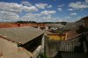
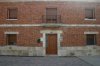
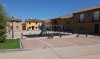
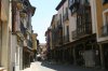
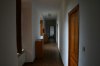
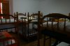
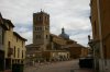
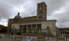
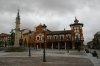
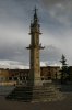
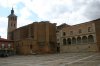
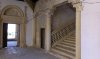
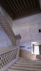
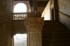
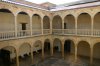
As promissed more than two months ago I'll post some of my remarks on Camino de Madrid. I came to Madrid on 18th of June in the middle of King's resigning/coronation festivities. Maybe that was the reason Iglesia de Santiago y San Juan was closed and I couldn't get pilgrim's credential. I allowed myself a day and a half of aclimatisation and started on 20th of June from Plaza de Espana, actually directly from the doorstep of Hostal Residencia Universitaria ARTI on Gran Via where I paid 9€/night in mixed dormitory with 3 bunkbeds.
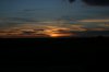
Although I've had some rain on the way, which I don' particularly like while walking, the weather was just brilliant, with over 35 centigrade first three days and a bit more moderate (around 25-30C) temperatures after Segovia. Mornings were quite cool, sometimes even just 7C and few severe afternoon storms went by which was the main reason for 17 days that took me to walk it.
I was using CSJ guide 2013 by Max Long which I found very very basic and not really reliable in descriptions and especially not in distances. My Endomondo GPS recorder usually tracked more kilometers and just in one case almost only half the distance in the guide
")
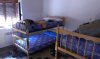
I don't find that really a big deal it's just annoying and makes you wonder all the time whether you did the right plan for next day(s). That was of importance for me because I was on a budget and wanted to use municipal albergues as much as possible.
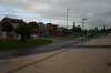
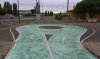
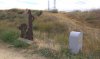
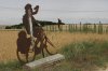
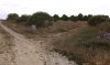
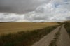
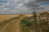
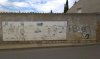
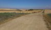
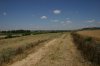
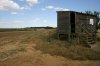
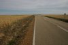
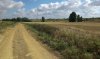
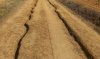
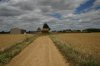
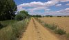
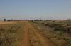
The Camino is mostly sufficiently marked but as usual there are no arrows when you need them
At the moment I remember two such spots but I'll mentioned more of them in day-by-day posts. I will use distances recorded by Endomondo from distinctive points like Plaza Mayor, Iglesia, Bar, Albergue etc. and from there on, because I don't find distances measured roughly from end of one village to the entrance of the second village really accurate. Sometimes (more commonly on Camino de Invierno) those villages can be 2kms long not to speak about cities like Madrid, Segovia or Sahagun.
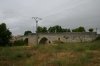
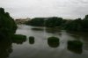
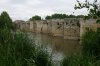
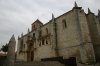
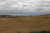
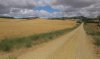
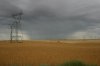
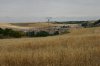
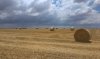
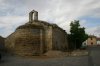
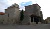
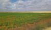
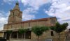
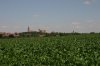
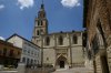
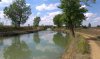
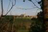
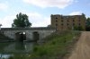
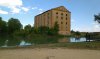
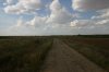
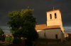
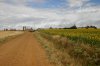
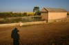
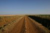
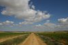
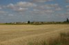
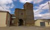
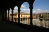
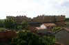
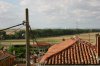
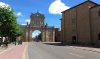
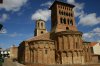
In general I liked the whole way but enjoyed wast Tierra de Campos (= Meseta) and huge Pinarios (pine forrests) the most. It took me 371,54kms from Plaza de Espana in Madrid to joining
Camino Frances just past the Arco San Benito in Sahagun. Total ascent was 7957mts and total descent 8565mts so one would think that mostly it's downhill but it is not entirely so
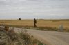
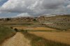
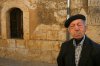
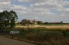
The people along the way aren't really used to see pilgrims (I've met only 6 bicigrinos and 6 peregrinos on 4 out of 17 days!!!) but are nicer and more eager to help than folks along
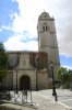
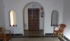
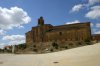
Camino Frances in my opinion. As you probably already know pilgrims accommodation is scarce before Segovia and adequate afterwards so you can really choose how long stages you're going to walk.
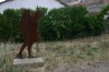
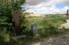
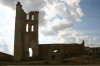
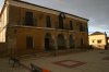
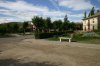
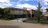
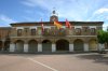
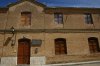
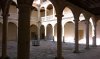
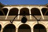
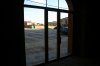
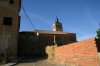
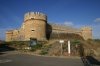
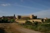
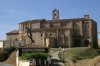
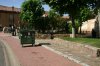
I will try to attach photos that illustrate those orientation challenging parts (and also some really nice parts) of this route the best. The link to my Endomondo history (
https://www.endomondo.com/workouts/360990724) will be added, but I have to appologize because I don't know really how to extract GPS track from them. Just click on the date for certain stage and from the maps and graphs beneath them you can see exactly the route I was walking, distance, height etc.
Enjoy…
PS (Oh, maybe I figured it out. There is a file in gpx. format attached. Would be nice if someone who's more into GPS could confirm if it could be of any help. I have also tcx. file but couldn't be uploaded. Thanks!)