• For 2024 Pilgrims: €50,- donation = 1 year with no ads on the forum + 90% off any 2024 Guide. More here.
    (Discount code sent to you by Private Message after your donation)
  • ⚠️ Emergency contact in Spain - Dial 112 and AlertCops app. More on this here.
  • Get your Camino Frances Guidebook here.

Search 69,459 Camino Questions

Google Earth path of Camino Frances

Google Earth View of Camino


  • Total voters
    23

John Sikora

Veteran Member
Time of past OR future Camino
2021
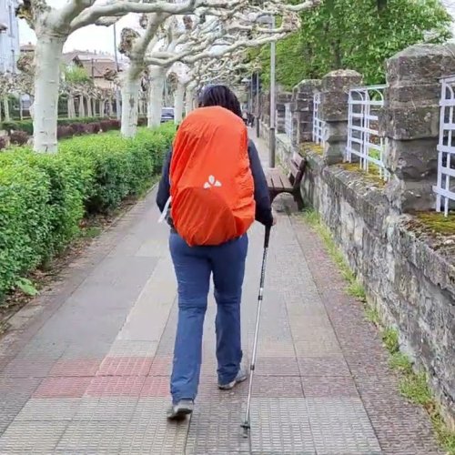
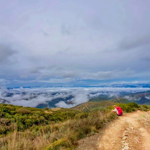
When I did my Camino in 2015, I gopro'd the entire trip (still working on this) but I also created (with the help of the Walkmeter app) a Google Earth file for each day. Anybody interested in a combined file that would show the entire Camino (via Valcarllos) in Google Earth? I didn't want to go through the trouble of creating it (it may take a few weeks) unless someone was interested.
 
The focus is on reducing the risk of failure through being well prepared. 2nd ed.
I think it would be fascinating. A great resource for those left behind - like my dad sitting at his computer playing on Google Earth. It is awesome you have all that data!

I love collecting all the info.

K
 
They did really nice work. I was actually thinking of something even simpler. It would just be a file that has all the routes in it. Unlike their video, you could open it with google earth and manipulate it or examine the route to your heart's content. So similar in concept but not limited to a video or what you could fly over or the speed at which you could move it. Might be useful for those people who have a computer or tablet on their trek as well. Thanks again for the link. I've attached a simple sample of what I was talking about (I haven't cleaned up the paths or anything like that yet). Rename the file from .txt to .kml for Google Earth.
 

Attachments

  • Camino 2015.txt
    525.2 KB · Views: 69
Technical backpack for day trips with backpack cover and internal compartment for the hydration bladder. Ideal daypack for excursions where we need a medium capacity backpack. The back with Air Flow System creates large air channels that will keep our back as cool as possible.

€83,-
Very light, comfortable and compressible poncho. Specially designed for protection against water for any activity.

Our Atmospheric H30 poncho offers lightness and waterproofness. Easily compressible and made with our Waterproof fabric, its heat-sealed interior seams guarantee its waterproofness. Includes carrying bag.

€60,-
Yes he did. It goes from major starting point to major starting point as an overview. That's great. I'm probably a hybrid. With the file that I've about 25% of the way through it will have the following:

1) Individual legs that I walked that mostly match the Camino legs (that's a little different than the guide since I walked it in about 45 days) but I think it's better than nothing. I could combine or match the legs but that's a lot more work
2) Individual tours for each leg prebuilt that follow the tracks so that someone could either remember or preview what they are walking
3) More interesting for the techies is that you'll have the full XML that runs the whole mess so that you can play with it if needed.
4) I'm actually taking a movie of each leg and embedding it in a 5-16 minute video of each leg that I walked since I used my GoPro to record it was well. Definitely amateur but you'd be amazed at how much you remember (or maybe forgot) when you actually see a video of where you walked. The short flyover video could also be supplied so that someone could download the video of the flyover to their whatever (tablet, iphone, etc.) if they really wanted to.
5) If it made sense, I was thinking of also offering the file, videos, and instructions to Ivar to sell or distribute as he sees fits with money going to the Camino. Might be a good donativo. :)

Sorry for the long winded answer.
 
Is is something like this that you have in mind, if so it has been done, if not then go for it.


Youtube channel Best Mountain Artists
Can't verbalize why, but (with the exception of the SDdlC waste treatment plant) this was one of my favorite days.
Visiting Spain next year with some non-Camino friends, and we are thinking about walking this section with them.
Thanks for the GE video.
 
3rd Edition. More content, training & pack guides avoid common mistakes, bed bugs etc
The first edition came out in 2003 and has become the go-to-guide for many pilgrims over the years. It is shipping with a Pilgrim Passport (Credential) from the cathedral in Santiago de Compostela.
Ok, as promised here is the kmz and kml files that have the routes that I walked last Camino. Unlike the stuff on uTube, you can work with and create your own videos or use the tours that I set up as you wish. If you make any money off this, please share :) :) :). Only kidding, but seriously, if you have a fast enough graphics card and internet connection, setting the 3d buildings and full scenery support on and using one of the tours really generates an interesting image. Didn't realize you much the Camino really meandered around.

Also, when you run a tour or look at a path, don't forget that GE allows you to display the altitude. That way, you can see how tough it really was to walk those million steps.

All you should have to do is double click the kmz file (if you have GE installed) and it should work.

Note that the kml file is uploaded as a .txt file so rename it if you want to use it.
 

Attachments

  • Camino Walks.kmz
    530.4 KB · Views: 32
  • myplaces.txt
    2.3 MB · Views: 8
I haven't played much with Google Earth but I think you are looking to do something like the kml files linked to on these webpages:
Thanks, Rick,
Amazing, thru your suggested links,I was able to see the town of Astorga and bus station, and bought bus ticket from Madrid airport. Now for sure where I will be landing for us to do the starting point of our Camino. Our starting date is March 21st 2017. Am excited time is drawing near. Thanks again. From CathyK.
 
The focus is on reducing the risk of failure through being well prepared. 2nd ed.

Most read last week in this forum

A message has just been posted on the Facebook account of the albergue in Roncesvalles. It seems the combination of pilgrim numbers beyond their capacity and poor weather has made this a difficult...
I’m on the Camino Frances since April 4. I just finished the Meseta and it feels unpleasantly busy and has since the beginning. No time time to smell the roses or draw much. There is a sense from...
Hello, I'll be starting the Camino soon and there's one bit of it that worries me. The descent from Collado de Lepoeder to Roncesvalles seems quite steep (according to the Wise Pilgrim app) which...
Hi everyone. My name is Nika. I plan to take my backpack, and go on Camino in the end of the next week. I still don’t know how will I get from Kyiv to France. And what city should I come to… I...
We are in SJPP today While we were standing in line today, one of my pilgrims met 3 people from Taiwan, who could not find a bed. He said he also saw several people on their phones, frantically...
Good morning, all: I'll be starting my first-ever Camino (and first trip to Europe, actually) in one month. I'd appreciate any and all advice regarding the price(s)/price range for lunches on the...

❓How to ask a question

How to post a new question on the Camino Forum.

Forum Rules

Forum Rules

Camino Updates on YouTube

Camino Conversations

Most downloaded Resources

This site is run by Ivar at

in Santiago de Compostela.
This site participates in the Amazon Affiliate program, designed to provide a means for Ivar to earn fees by linking to Amazon
Official Camino Passport (Credential) | 2024 Camino Guides
Back
Top