KinkyOne
Veteran Member
- Time of past OR future Camino
- I'am not perfect, but I'm always myself!!!
Hola, fellow pilgrims!
After walking Camino de Madrid (371,54kms) this year in end June/beginning July (you can read and see all about it here:
https://www.caminodesantiago.me/community/threads/finally-my-camino-de-madrid-june-2014.25354/)
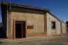
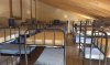
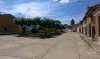
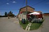
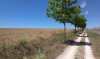
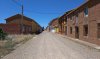
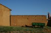
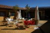
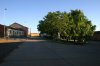
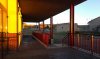
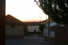
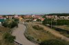
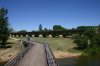
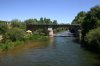
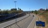
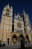
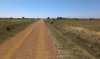
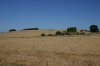
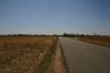
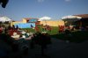
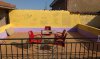
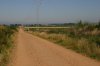
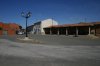
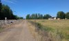
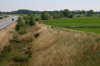
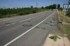
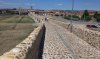
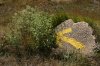
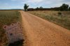
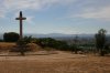
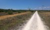
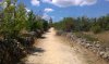
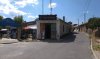
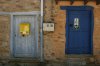
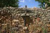
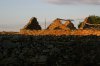
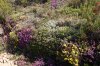
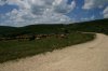
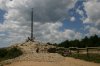
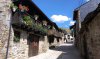
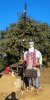
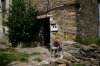
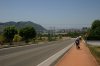
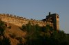
I've continued my walk on CF from Sahagun to Ponferrada (176,39kms) and there turned left onto Camino de Invierno. I know that there isn't much undiscovered about this stretch and CF in general, but maybe some of the comments would be helpful to first-time pilgrims. Also I'm using this to have sort of a diary of my own which most probably wouldn't be written otherwise")
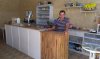
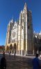
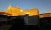
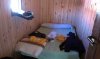
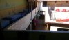
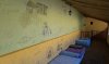
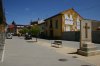
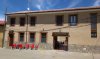
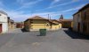
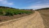
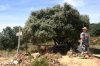
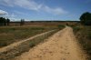
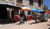
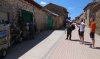
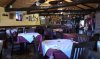
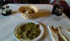
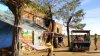
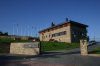
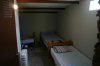
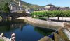
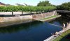
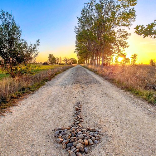
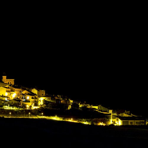
I will use distances recorded by Endomondo GPS from distinctive points like Plaza Mayor, Iglesia, Bar, Albergue etc. and from there on, because I don't find distances measured roughly from end of one village to the entrance of the second village really accurate. GPS tracks will be added for each stage/day in .gpx file with some interesting or informative photos. At least I hope you'll find them this way I did my first CF three years ago and it was interesting what and where changed in the meantime. Mostly I've noticed new albergues & shops which I will also mention. Maybe I did some unusual overnight stops which I'll also explain why. Mostly I tried to avoid so-called »Brierley stops« (whose guidebook I personaly like) but there were more to it.
Hope you'll enjoy.
Ultreia!
After walking Camino de Madrid (371,54kms) this year in end June/beginning July (you can read and see all about it here:
https://www.caminodesantiago.me/community/threads/finally-my-camino-de-madrid-june-2014.25354/)
I've continued my walk on CF from Sahagun to Ponferrada (176,39kms) and there turned left onto Camino de Invierno. I know that there isn't much undiscovered about this stretch and CF in general, but maybe some of the comments would be helpful to first-time pilgrims. Also I'm using this to have sort of a diary of my own which most probably wouldn't be written otherwise
I will use distances recorded by Endomondo GPS from distinctive points like Plaza Mayor, Iglesia, Bar, Albergue etc. and from there on, because I don't find distances measured roughly from end of one village to the entrance of the second village really accurate. GPS tracks will be added for each stage/day in .gpx file with some interesting or informative photos. At least I hope you'll find them this way
I did my first CF three years ago and it was interesting what and where changed in the meantime. Mostly I've noticed new albergues & shops which I will also mention. Maybe I did some unusual overnight stops which I'll also explain why. Mostly I tried to avoid so-called »Brierley stops« (whose guidebook I personaly like) but there were more to it.Hope you'll enjoy.
Ultreia!