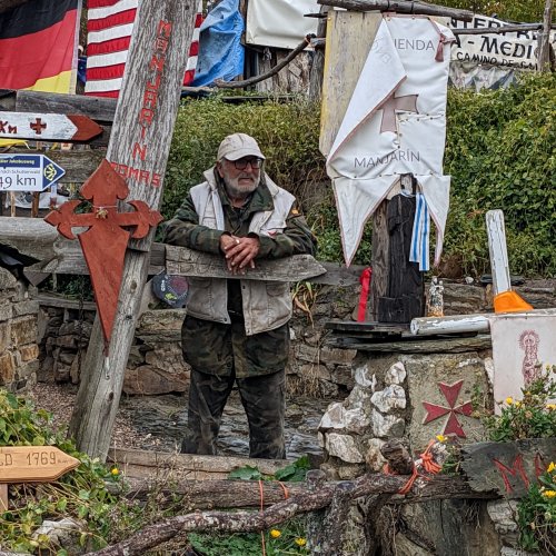
Just FYI, here are my walking notes on the stage from Monforte to Chantada, which is the stage that includes the area mentioned in the newspaper article. It's really pretty straightforward, much on the side of untraveled roads.
This is an unbelievably beautiful day.
Leaving Monforte, stay on LU-P-3204 till the municipio of Monforte ends, after km 7. I know there is supposed to be an off road route at Corga, but there are no markers there -- I´m guessing it was the path that went off to the right at the church.
Names are very confusing, Moreda is a parish and includes lots of little hamlets like A Broza, etc.
At a well marked intersection, with mojones pointing straight ahead, you change roads from the LU-P-3204 onto LU-P-4112 (and you´re at km 0 of the new road).
After the large estate with its name, the Pazo de Reguengo, prominently marked, go left in the mud and up hill till you come out in Castroñate and then on to Piñeira (place with fountain). Then the trouble starts. From Piñeira to the hamlet of Camiño Grande, there is mud, lots of rocks, tunnels of green, overgrowth of enormous proportions, and no markings. It seems the municipios paid to put the mojones in all along the way, but of course you can´t get a furgoneta (little delivery truck that brought the mojones to the Camino) into these muddy paths, so there is just no marking at all. It needs arrows desperately.
Although I have a real penchant for getting lost, I was able to find my way through this maze following only one piece of advice -- stay on the main path. There are lots of twists and turns, paths branching off, but at each junction I applied that criterion. At one point, it was clear to me that the "main path" went right, but that main path very soon collapsed into a narrow, overgrown mess. Since I was fairly confident that I had taken the "main path" at the previous fork, I pushed on ahead through the brush, and in a short while emerged to see a mojon in front of me. This is a short stretch of about a km or two, and even if you get lost, you are never too far from civilization. Know that your immediate destination is the hamlet of Camino Grande, so if you emerge onto the road at the wrong point, you can find your way there, where the mojones resume.
If you´ve found your way through this maze of green tunnels, you emerge in the hamlet of Camiño Grande (a very talkative and pleasant woman lives in the first house on the right).
You are now on asphalt. At an intersection with lots of signs, for the Casa Rural, etc, you keep straight on, entering LU-P-5807 at km 0. Soon after km 6, you will enter Diamondi. The camino goes off road and down to the left at a bus stop, but the church is a minute or two ahead on the road. As Michelin guides would say, it´s "worth a detour." There are emergency restorations taking place on the adjoining bishop's palace, but the church itself is perfectly view-able.
At the bus stop, the path descends to Belesar on a well-known path called the Codos de Belesar (Belesar's elbows, presumably named after its shape). In Belesar, you cross the bridge and then up to San Pedro de Líncora. If you want to stop for food or drink, keep going straight instead of crossing the bridge and you will find the bar. From Belesar to Chantada is extremely well marked.


 Laurie