A few things for the 2018 revisions.
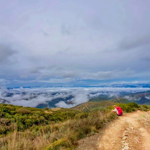
I know the amigos have provided a route to avoid the ascent (not all but some). I have not heard from any pilgrims who have taken that detour, but I have heard from a few who say the ascent is not bad, take it, go for the views, and even if it's bad weather, take it anyway because the alternative is all road walking.
Do other Invierno vets agree with that assessment? The ascent is virtually all on logging roads, as I remember.
Second question -- How about getting back on camino from Alto de Faro? I have posted two options. The first, just go back to the stations of the cross, go down the steps and you'll be back where you turned off. The second, go to the crucifix/cruceiro, where a mojón will take you to the right and past the picnic area where you rejoin the camino.
Are both of those options still easy to follow? Am I right in remembering that the crucifix is easy to see from the ermita so no directions needed on how to get to the crucifix?
Thanks everyone, I am appreciating the help, though I am kind of sorry that we havent gotten into any big google map disagreements yet. Those were such fun last year. But there is no way we need to tinker with the "leaving Lalín" part of the guide, at least no pilgri has reported a problem with it this year.