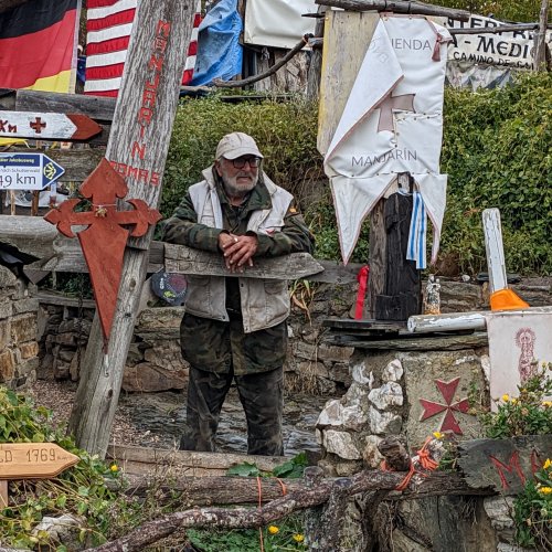
Sorry to hear about your blisters. I too, taxied up O Cebreiro while my companions walked, as I needed to conserve my resources for the Sarria to Santiago stretch. I recall that the drive up the hill seemed to take an eternity, but my companions said the trek up wasn't too bad. I waited for them at Bar Albergue la Escuela in La Laguna just before O Cebreiro. There was lots of cow activity in this lovely little village and it was interesting to observe the village dogs exercising their hierarchy.
A bit contrary to what is shown in
@Rick of Rick and Peg's map above, I recall the trek next morning from Laguna to O Cebreiro was fairly easy. (I was just going to say that I hope the weather is wonderful, but I now see it is raining

). Hope the rest of your camino goes well.