
- Time of past OR future Camino
- .
Theatregal, your pics above are fabulous - great vistas, great photography!
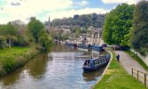
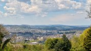
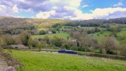
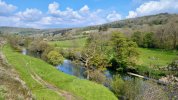
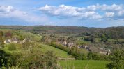
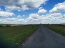
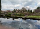
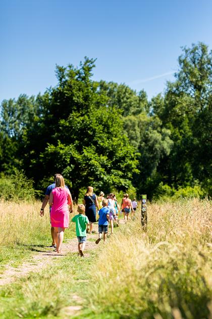
Sadly my phone (blame the tools) just couldn't work out the lighting yesterday. And the long shots had to be zoomed, so very rough quality... but giving a flavour of a lovely English walk nonetheless - I hope... Kennet and Avon canal in Bath, up to Bathampton Down on the Skyline walk, down to Claverton and the canal again on the other side, pic of the Avon from Dundas Aqueduct (fabulous item), then up again towards Bath, looking back down to Monkton Combe.
Sadly my phone (blame the tools) just couldn't work out the lighting yesterday. And the long shots had to be zoomed, so very rough quality... but giving a flavour of a lovely English walk nonetheless - I hope... Kennet and Avon canal in Bath, up to Bathampton Down on the Skyline walk, down to Claverton and the canal again on the other side, pic of the Avon from Dundas Aqueduct (fabulous item), then up again towards Bath, looking back down to Monkton Combe.


.JPG")
.JPG")


.jpg")


")


 ❤
❤


 Yes, I know that.


_LI.jpg")


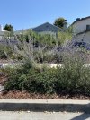
 seeing lupins in bloom.


