- Time of past OR future Camino
- 2009-2022: CFx6, CP, VdlPx2, Mozarabe, more later.
Hi,
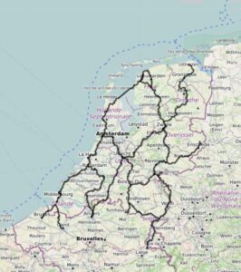
for some time I've had The Camino Frances & VdlP showing as yellow lines in GE. For some reason, unknown to me, GE removed them some time ago. I want them back!
I don't remember where/how i got them installed, and hope someone can help me out, for the benefit of myself as well of many others, for sure.
It is great to be able to turn on Street View and "walk" through familiar places on different Caminos.
I am sure some member here knows how to get the tracks for different Caminos showing up on GE?
Thanks!