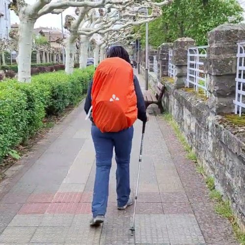
I was not suggesting a particular route for HorburyLawrence , just demonstrating the inaccuracy of the assertion that England is " not a country which embraced long distance paths" by conjuring up a long distance walk off the top of my head.
But, still being sure that there ARE plenty of possibilities for a suitable walking route from Yorkshire south I have now done some internet research and come up with the following possibilities for walking from Yorkshire to a sea port, based on the English sections of the E2 european route from Galway in W Ireland to Nice. (marked on more recent OS Landranger maps, certainly on the one covering this area)
http://www.walkingontheweb.co.uk/Euro_R ... tml/E2.htm
I quote
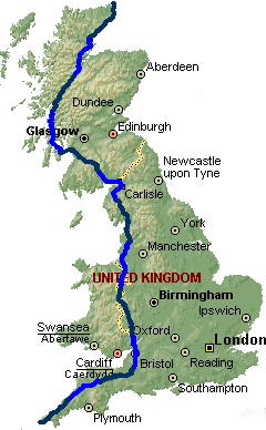
'There are two routes that can be followed through England with separate departure points to Europe: Harwich or Dover
Depart via Harwich
Pennine Way Section from Kirk Yetholm to Middleton in Teesdale
Teesdale Way Full length including the section shared with the Pennine Way from Dufton to Middleton in Teesdale
Tees Link
Cleveland Way Section from ...... to Filey Brigg
Wolds Way Full length from Filey Brigg to the Humber Bridge
Viking Way Almost the full length from the Humber Bridge to Whitwell on Rutland Water a short distance from the finish in Oakham
Hereward Way
Fen Rivers Way
Icknield Way Path
Stour Valley Path
Essex Way Section from ..... to Harwich
Depart via Dover
Pennine Way Section from Kirk Yetholm to Standedge
Oldham Way
Tameside Trail
Goyt Valley Way
Goyt Way along the Peak Forest Canal to Whaley Bridge before climbing up to Park Moor in the Lyme park Country Park to join the....
Gritstone Trail
Staffordshire Way
Heart of England Way
Oxfordshire Way
Oxford Canal
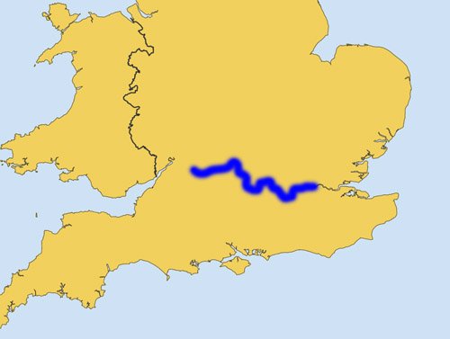
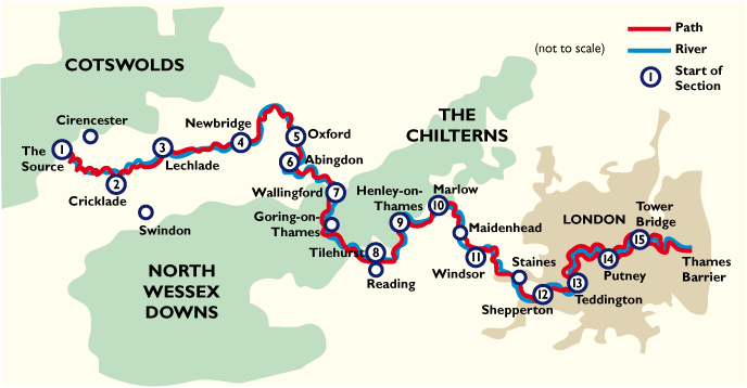
Thames Path
Wey Navigation
North Downs Way'
The profusion of paths surely suggests rather a prolific embracing of walking routes, from which any long distance walker can choose to suit their purposes. And of course, no one says you have to walk on a specific long distance path. With maps (paper or on line) one can tailor make a route of any length to suit. And in England we DO have very good maps with well-marked public footpaths, bridleways etc. In my experience these are clearer and more accurate than the equivalent French and Spanish maps.
In earlier times when all pilgrims walked out of their front door on to their road to Santiago most of them would have had to choose their own routes, using existing roads with intermediary destinations - no doubt they visited other pilgrimage shrines, distant relatives, commercial centres, famous landmarks, whatever, on their way towards Galicia. As we have done on our pilgrimage.
Whether you cross to mainland Europe from N Shields, Harwich or Dover, Lawrence, I'm sure you'll have a great time! (In Vlissengen we came across a channel crossing from the Isle of Sheppey. That would be different!! I'm sure you could walk east on the south bank of the Thames!)
Bridget


")