[Moderator changed the title from referring to "Napoleon route" to "Camino Francès)]
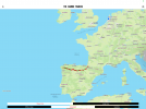
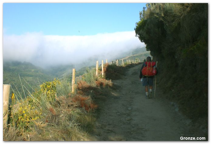
Hello, I would like to know your recommendation of online map or tables of the napoleon route that is shown detailed information especially distance between each town and albergues that is understandable.Though I know there are already several nice apps for pilgrimage(The way these apps show distances and each points is often confusing me.), is there any website or app that can give me an overview of the entire pilgrimage route and also give information on the distance between towns?
Hello, I would like to know your recommendation of online map or tables of the napoleon route that is shown detailed information especially distance between each town and albergues that is understandable.Though I know there are already several nice apps for pilgrimage(The way these apps show distances and each points is often confusing me.), is there any website or app that can give me an overview of the entire pilgrimage route and also give information on the distance between towns?
Last edited by a moderator:

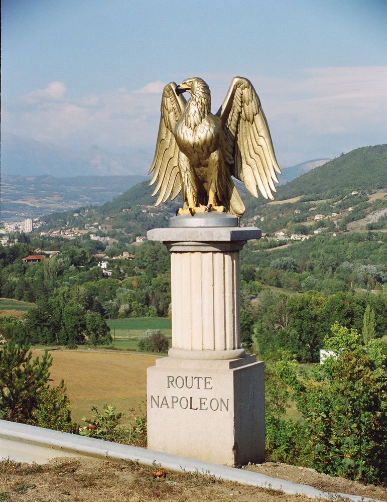


 . I remain puzzled that the diversion route between St Jean and Roncesvalles ever came to be named as the Route Napoleon. Neither Napoleon nor his armies ever passed that way. If it was called the “If only Roland had had more sense route” that might make some sense. Meanwhile I remain puzzled why anyone, other perhaps than Roland and his poor bloody foot soldiers, would want to climb a completely unnecessary hill in the first place.


") ) confusing? Most are in KMs and are quite detailed. The fact that some dont take into account 5 small tiny villages you pass on the way; well so be it. You still need to get from Point A to Point B at the end of the day....
) confusing? Most are in KMs and are quite detailed. The fact that some dont take into account 5 small tiny villages you pass on the way; well so be it. You still need to get from Point A to Point B at the end of the day....