I am placing this in the
Camino Frances forum because I do not know where else to put it.
Perhaps an administrator can find a better place for it.
Some background.
When I decided to walk the
Camino Frances I thought why not just walk from the airport in Biarritz to St. Jean.
I made inquiries as to weather there was an established trail and was told YES , The Voie de la Nive!!
I began gathering info on this route and found a web site in French and another account of the route, also in French. I could not find anything in English.
I could also not find anyone (other than the 2 old french accounts) who had actually walked this trail.
I eventually made contact with someone who had attempted to walk the trail from St. Jean to Bayonne but became hopelessly lost and ended up taking a bus.
As I am writing this I see more information is available now.
I do not remember seeing a single trail marker bearing the name 'Voie de la Nive'. Every marker (the ones that were still there ) said 'Camino Roncevalles'
****This is not a complete guide to walking the Voie de la Nive. You will need to bring the other accounts and maps to successfully navigate the route. ****
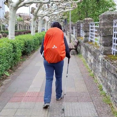
This is my account of walking the Voie de la Nive in late September 2015
I did it in 3 days.
It was a lovely trail
Approximately 80% on paved roads most of which are secondary, farm or abandoned roads.
I got lost everyday but still managed to make it to St. Jean in 3 days .
I ordered the following maps then cut and pieced the useful pieces back to back and covered the entire creation with clear tape in order to help waterproof it.
I ended up with a double sided map that was approximately 16 X 20 inches (I did not have a map from Bayonne to Ustaritz because it is not necessary, You walk along a paved canal path along the river Nive)
http://vppyr.free.fr/pages_transversale ... index.html
I used the 2 written accounts of the trail, neither of which are in English. I used Google translate to try to understand them.
At times, one account is more accurate then the other. Sometimes I was scratching my head wondering which way to go.
I did this route in 3 steps: Bayonne to Cambo les Bains , Cambo to Helette and Helette to St. Jean .
I would suggest carrying all three accounts plus a compass and map.
Check each intersection for markers and compass headings .
Note: directions concerning the river Nive are given as if you are facing downstream :
Day one: Bayonne to Cambo les Bains
Starting at the junction of the River Nive and the River L'Adour in Bayonne, walk along the left bank of the river Nive. You will shortly come upon a paved towpath.
You follow this towpath almost all the way into Ustaritz. About 5.5 KMs from Bayonne you will pass in front of a cafe on your right, A nice spot to stop for a coffee.
Several KMs further along the towpath you come to a fork in the towpath in front of a large house. Take the left fork which follows the river Nive.
Continue on the towpath until you see an old dam just below the village of Ustaritz. You will now take the small lane to the right. It is signposted with markers for the Camino Roncevalles and the Camino Baztan. Do not return to the River Nive but follow this lane for Approx. 1 KM and you will reach the road into Ustaritz. Turn left and walk into town.
Ustaritz is a great place to stop for lunch. I can recommend 'La Petite Auberge ' on your right about half way thru town.
Continue on this same road and a few blocks past 'La Petite Auberge'. the Camino Baztan will bear right onto the street 'Ferrondoa' Do not follow the Camino Baztan but continue straight ahead for a few more blocks until you reach a T intersection with an old concrete cross. Turn left here onto D250 and follow it down to cross, in quick succession, the river Nive, a canal, and a RR track.
immediately after crossing the track turn right onto a small road that initially parallels the tracks then turns left towards the village of Jatxou. After 1 KM you reach the small village of Jatxou. Turn right and follow the road to the Church of St. Etienne.
When you reach the church there is a small gravel road directly in front that descends steeply. Follow it . The last 'Camino Roncevalles ' marker I saw this day was on this road.
At a point called Portuberria you reach a small road along the RR tracks. There are yellow GR3 trail signs posted here. GR3 runs concurrent with the Camino Roncevalles for a time.
At one point, the yellow marked trail makes a 90 degree left turn and goes behind a house and into a forest and over a small stream. I did not take this trail but continued via the road and eventually came upon the bridge crossing the Nive and Cambo les Banes.
I crossed the bridge then turned immediately right up a steep alley via steps to the village of Cambo. Reaching the top of the steps, I turned left for 2 blocks and stayed at the Hotel 'Cafe du Trinquet' . Recommended .