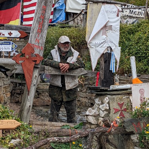
Hi, invierno pilgrims,
I am almost done with the text changes for the "new edition" of the guide (which I will then send around for veterans to critique), but my big headache now is the distances. Last year, I changed them all to reflect GPS and other calculations. This year three pilgrims told me that they found the distances cited to be much MORE than the actual distances. My own GPS was not working for most of the Invierno this summer, so I have no first hand information.
My question -- Do those of you who have walked the Invierno think that the Gronze distances are reasonably accurate? http://www.gronze.com/camino-de-santiago/caminos/guia-del-camino-invierno
My inclination right now is to just use their distances and point out that the kms are always slightly approximate. But I would really appreciate some input on this because if I change them once, I do NOT want to change them again! It is a real pain in the neck. Thanks, Laurie

") I'm sure those repeat offenders are there for the walking and not for collecting distances.
I'm sure those repeat offenders are there for the walking and not for collecting distances. 


.jpg")