Johan van der Hoven
Johan - South Africa
- Time of past OR future Camino
- See signature
Good day
I am starting the Via Serrana from La Linea early April. I get lost easily and wonder if a GPS App for this route exists? If not, is there a guide for this route that somebody can recommends?
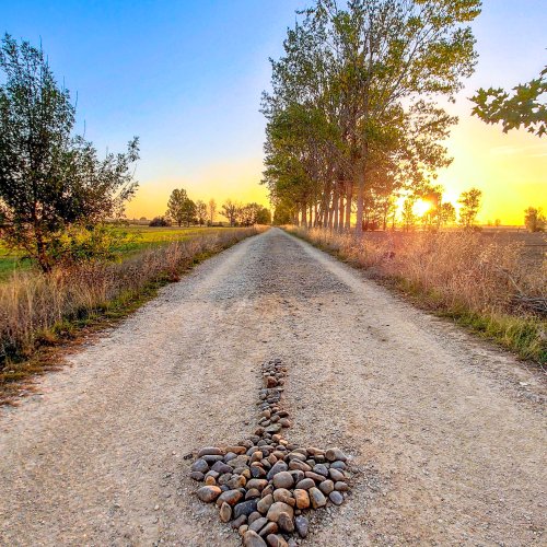
I may be wrong, but it seems to me that there are not sufficient arrows to keep one on track.
I also need advice on what network to use for coverage from La Linnea through the de la Plata to Santiago..
Thank you in advance.
I am starting the Via Serrana from La Linea early April. I get lost easily and wonder if a GPS App for this route exists? If not, is there a guide for this route that somebody can recommends?
I may be wrong, but it seems to me that there are not sufficient arrows to keep one on track.
I also need advice on what network to use for coverage from La Linnea through the de la Plata to Santiago..
Thank you in advance.
Last edited: