Saturday in Waterville Valley we had an adventure. I'm defining adventure as an experience you wish you didn't have but, due to poor or no planning, you did. It takes on a positive meaning though if you survive it.
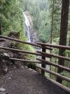
I saw on a map another loop we could do near the one we started on Friday. I thought it was one we had done years before that was pleasant (spoiler, it wasn't). At the start, around noon, we came upon two sets of families coming down. We asked each if they were coming back from a visit to Fletcher Cascades. Both reports included "Yes" and "It was beautiful". We even got to see a video. After Friday afternoon's rain it did look great. We passed on taking the spur trail up to see it again though as we had enough to walk.
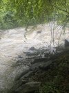
The trail followed a sizable brook at a distance. It was pretty when we could see it but there were no falls or cascades. It was getting awfully steep and we considered heading back but we got a report that things would be getting better from approaching hikers. We didn't take into account that they were 50 years younger than us. I should mention that although I had a paper map in the backpack I was using an app and got fooled by the contour lines which were in meters although distances were given in miles and feet.
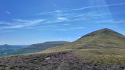
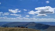
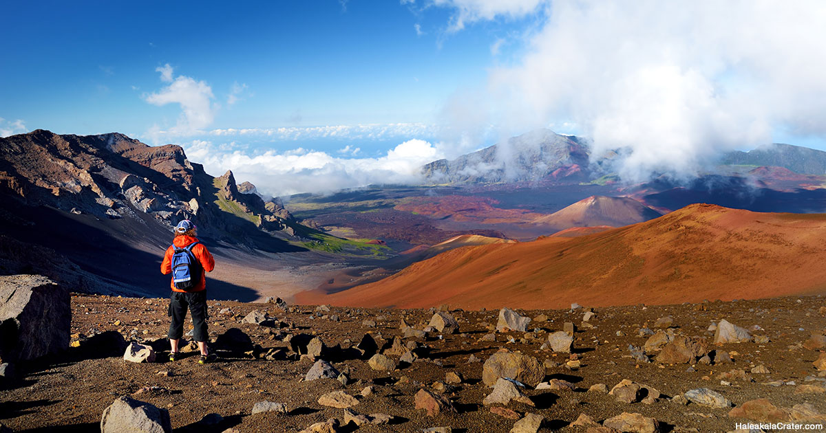
Well, we finally made it to the trail junction for the return portion of our trip. I mentioned to Peg that there was a peak just a quarter mile away that was reported to have a nice view. "Nah". But after a break we reconsidered. We had been averaging a mile per hour and going downhill the rest of the way (except the peak) so we could finish around 6:30. We went for the peak and we're glad we did.
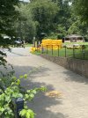
But, man, we were complaining all the way down. "How can this trail be going down twice as steeply as the trail going up when they are nearly the same length?" (There were plenty of one word complaints uttered too.) At 8:00, after walking in increasing darkness, we approach the stream crossing just a quarter mile or less from the end of the mountain portion of the hike. I pull out the flashlight but I can only see a steep bank on the other side, no trail. Instead we decide to bushwhack to the highway, Peg following me with the flashlight so she can see both me and her footing. It turned out to be much easier than we could imagine. Thank goodness that there is no poison ivy around the White Mountains. After crossing the highway we had an easy time the rest of the way on a flat three quarter mile path to the campground arriving at 8:45.
7.25 miles (11.6 km) in 9:15 hours. We were too tired to eat much so dinner was a beer and tortilla chips.
This was a super fantastic job on Peg's part. On the short level walks around home she sometimes complains about hip and knee pain. She likes the mountains so much though she puts up with a lot.
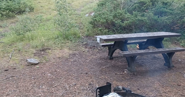
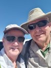
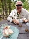
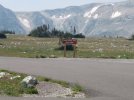
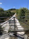
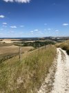
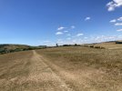
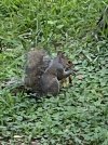
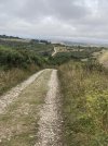
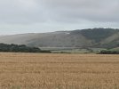
The pictures show:
The loop portion of the hike we took identified.
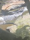
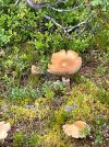
Took a picture of a snake to identify later. It's just a common garter snake but with a pattern I had never seen before.
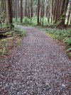
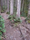
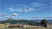
A couple of pics to show some trail we had and a couple to show the views from Jenning's Peak.
Edit: I make fun of Sabine's mud but in the Whites we get rocks, roots, ruts, washouts and windfalls.


")


.jpeg")
.jpeg")
.jpeg")


 .
. 
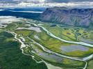


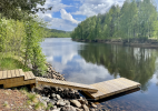
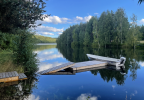
 ... no, we love it up North. There is a reason why we moved here into the Northern Swedish "outback" where a round trip to Ikea easily adds up to a 300 miles drive and the next manned police station is more than 100 miles away


.jpg")


.jpeg")