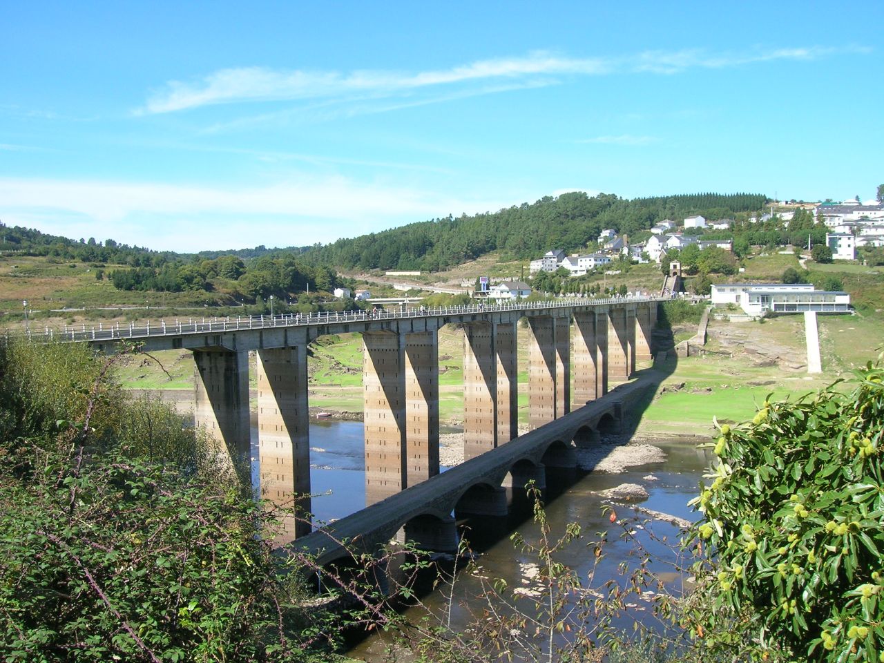
Using the GPS-based measuring tool in Google Earth Pro, I just measured the distance across the Ponte Nova Bridge (the correct name). As end points, I used the center of the small roundabout on the east side, across the bridge to the small roundabout just off the bridge span on the west end of the bridge, but before the stairs.
The actual GPS measurement i achieved is 334.82 meters. I will attempt to attach a copy of the resulting image here, below. The yellow line on the bridge is the digital "ruler."
Even if we debate where the EXACT measuring points should be, the bridge length should still be slightly over 300 meters. I used the center of the "T" shaped intersections formed by the bridge and the cross road as it was convenient.
Just as an FYI, I used to do this for a living when employed as a "civil servant." Of course, this environment has more man made structures than does a more open place, like a jungle or desert...
")
I hope this helps the discussion.
View attachment 66755View attachment 66755