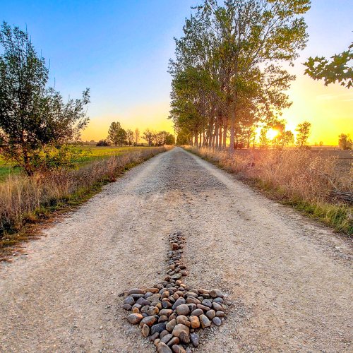
I walked over the Pyrenees, stopping overnight in Orisson, and yes, as someone else has said, sending part of my backpack over by Jacotransport. It was hard, partly because it was the first day or two of my walk. If I had encountered it two weeks later, it would have "felt" easier. Others have given you good advice . . . one step at a time, it's not a race. Or starting from Roncesalles, etc.
But I was very happy I sucked it up. When considering which route to walk for my upcoming second Camino, I thought I might go by way of Valcarlos if I did the
Camino Frances again, or whether I'd find the Pyrenees not so intimidating, but I'm walking the Norte this time instead.
I suggest you get
John Brierley's book for the
Camino Frances. It was invaluable to me, both for seeing the elevations for each "stage", and for other excellent information. I tore the book into three sections, and put each part away after I was finished with it.
I was nearly 67 last time I walked, and I wanted to stick out that first part and overcome the challenge. I did it. Doesn't mean it's the right thing for everyone. And the person who said the diagram is much worse than the path is right. I never felt like I was "climbing" . . . just walking one step at a time up a very steep hill. Hiking poles are also invaluable. I probably saved myself (the clutz) from stumbling/falling at least once every day, due to the stablizing influence of the hiking sticks.
Buen Camino!


") cruel sense of humor.
cruel sense of humor.