I was really surprised to find no other pilgrims doing this amazing 30km detour, but there is little info about so thought it worth sharing my experience for anyone who wanted to!
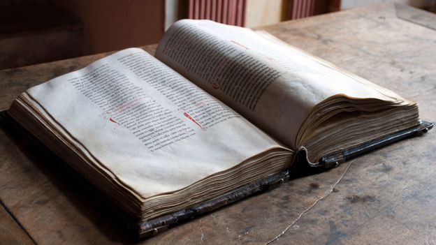
The monasteries are UNESCO heritage listed, and Suso a mix of 4 architectural styles going back to the 5th C, and also where the first written Castillian may have been captured. My route was the Camino Real from Najera - although I got lost and missed a section - coming back down to Cirueña. A general map of the region was available from the tourist office in Najera and quite useful, but there don't seem to be any specific route maps. Anyway, here's how you do it!:
From the municipal, walk away from town along the river. When the road bends off to the left over a bridge, take instead a non-descript path into the creepy wood that goes alongside the river. If like me you set off in the dark this bit is super creepy indeed and tricky underfoot - probably why it's popularly known as the "pasemalo" (bad pass). If you make it past the gremlins and the witch doesn't catch you however, you'll pop out right by the cliff you could see from Najera. In the dawn light this is hugely atmospheric and the path here is clearer.
The path descends again over a little wooden bridge (ignore the offshoot to the right) and then splits at one point but both get to the same place where there is a sign (a sign!) indicating the lower of the two options with the other leading to the Alto. Not sure if these are in the opposite order so don't worry if you come across the sign first then the little bridge.
Things get complicated when the woods thin out and the path curves to the right away from the river. Where I think I went wrong is NOT crossing the bridge that goes over a tributary and up the hill, instead sticking to the more major looking path into the valley. I can't say what happens after you go over the bridge, but my guess is you'll have better luck with indicators from then on.
The route I took wasn't bad. There was a good track through a nice valley surrounded by vineyards, which eventually pops out at Cordovín. There is a fountain by the church but not much else, so to rejoin the path head left along the only proper road out of town and down into the next valley to reach Badarán.
The path is pretty well sign posted from Badaran with maps in the town to guide you. I wondered whether I'd gone wrong again after the first bridge, but the path to the right is indeed the correct one so keep the faith!
Yuso is the huge newer monastery in town, and you can walk around the outside without paying. Suso is a long trek up the hill and you can't go in without a ticket (4€ from the Yuso office). There is a bus included with the Spanish-only tour though, and it's well worth it.
I couldn't see any actual path back down to Cirueña although rumours are there is one. The road route isn't very busy and had great views though, so this isn't a downside.
(Previous threads on this at https://www.caminodesantiago.me/com...to-cañas-and-suso-and-yuso-monasteries.18505/)